Catalog Archive
Auction 147, Lot 129
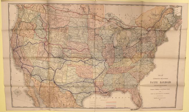
"Map Exhibiting the Several Pacific Railroads Prepared for the Report of the Internal Commerce of the United States…", Rand McNally & Co.

Subject: United States, Railroads
Period: 1883 (dated)
Publication:
Color: Printed Color
Size:
42.7 x 26.5 inches
108.5 x 67.3 cm
Download High Resolution Image
(or just click on image to launch the Zoom viewer)
(or just click on image to launch the Zoom viewer)

