Subject: Atlases
Period: 1899 (published)
Publication:
Color: Printed Color
Size:
11.5 x 14.5 inches
29.2 x 36.8 cm
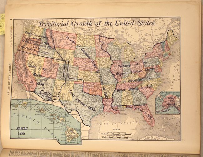
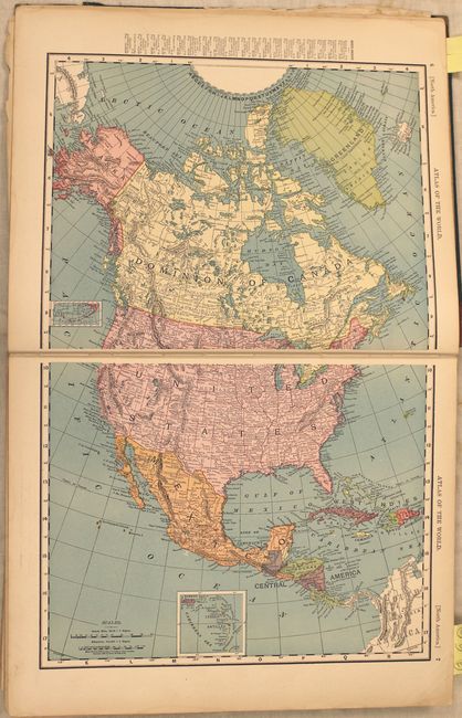
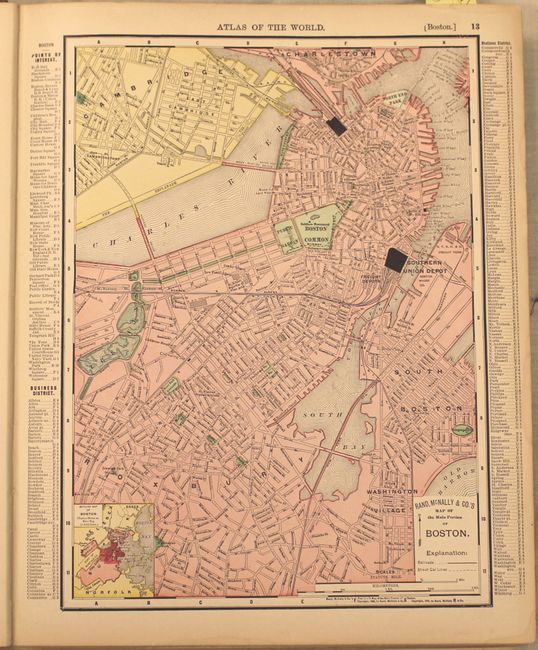
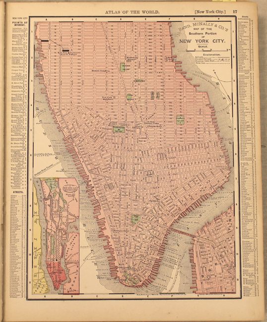
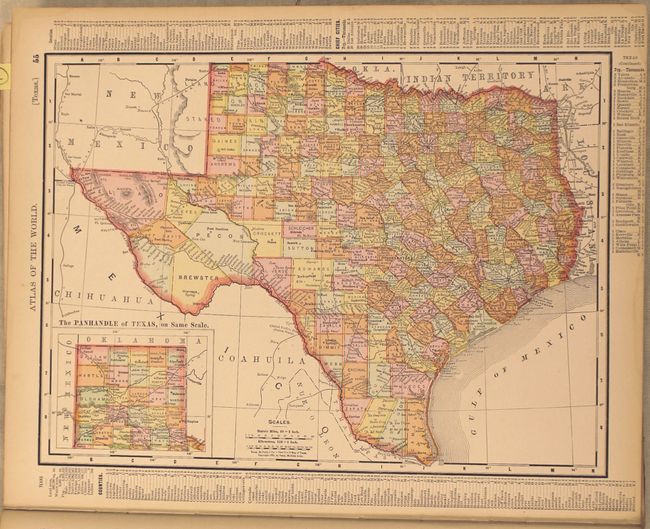
Complete atlas with 80 single-page and 38 double-page maps. All double-page maps are printed on two sheets. This is a world atlas, but the majority of the maps are of U.S. interest, including all states and territories and numerous city plans. The atlas is illustrated with dozens of black and white photographs interspersed throughout the text, including presidential portraits and a facsimile of the U.S. constitution. Title, introduction, table of contents, text and maps, 456 pp., including an exhaustive 94-page listing of towns and counties for each state. This edition contains at back the "History of the Spanish-American War with Handy Atlas Maps and Full Description of Recently Acquired United States Territory" copyright 1898. This 7 pp. supplement contains sections on the events in chronological order, as well as sections describing the history of the Philippine Islands, Alaska, Hawaii, Cuba and Puerto Rico. Hardbound in original green cloth with brown leather spine and tips. Gilt and embossed title to cover with graphic elements including a compass rose and sailing ship.
References:
Condition: B
The maps and text are mostly clean and bright with very light toning along the edges of the sheet and a faint damp stain along the fore-edge of the first few pages. The front cover is nearly detached and the title page has separated from the text block. Binding is very loose, covers are worn and stained and the spine has perished.