Catalog Archive
Auction 146, Lot 698
"A Map of Eastern Tartary as Surveyed by the Jesuits in 1709 10 & 11", Kitchin, Thomas
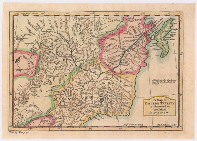
Subject: Eastern Russia, Tartary
Period: 1751 (circa)
Publication:
Color: Hand Color
Size:
9.2 x 6.3 inches
23.4 x 16 cm
Download High Resolution Image
(or just click on image to launch the Zoom viewer)
(or just click on image to launch the Zoom viewer)