Catalog Archive
Auction 146, Lot 631

"Carte de la Turquie de l'Arabie et de la Perse. Dressee sur les Memoires les Plus Recens Rectifiez...", Delisle/Covens & Mortier

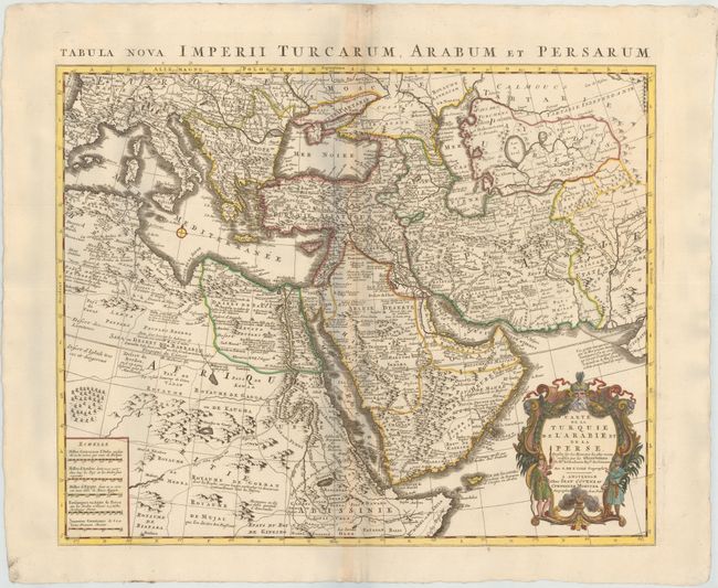
Subject: Near & Middle East

Period: 1720 (circa)

Publication: Atlas Nouveau

Color: Hand Color

Size:
22.3 x 18.1 inches
56.6 x 46 cm
Download High Resolution Image
(or just click on image to launch the Zoom viewer)

Superb map of the Ottoman Empire stretching from the Balkans through present-day Turkmenistan in the north and including Northeastern Africa and the Arabian Peninsula. The map is boldly engraved, packed with information and decorated with a fine title cartouche. Delisle's maps of the Middle East were some of the most accurate early maps published until the end of the 18th century.

References: Ankary, p. 294-95; Tibbetts #229.

Condition: A

On thick, heavy paper with minor toning along the centerfold.

Estimate: $400 - $475

Sold for: $300

Closed on 9/4/2013

Archived