Catalog Archive
Auction 146, Lot 490

"Normandia", Hondius/Bertius

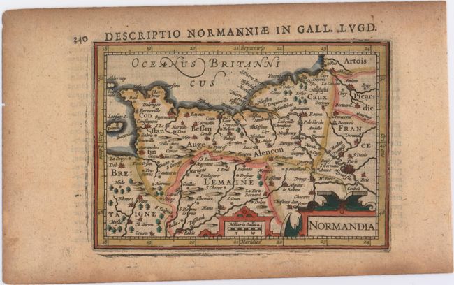
Subject: Northern France

Period: 1618 (published)

Publication: Tabularum Geographicarum Contractarum

Color: Hand Color

Size:
5.3 x 3.8 inches
13.5 x 9.7 cm
Download High Resolution Image
(or just click on image to launch the Zoom viewer)

A charming miniature map of the Normandy region in France, extending to Paris in the east and Rennes in the west. There is good detail of towns, political boundaries, rivers, and the topography of the land. Adorned with two strapwork cartouches. Latin text on verso.

References: King (2nd ed.) pp. 96-99.

Condition: B+

A nice impression on watermarked paper with light toning.

Estimate: $80 - $95

Sold for: $60

Closed on 9/4/2013

Archived