Catalog Archive
Auction 146, Lot 479

"A New and Accurate Map of the Seven United Provinces…", Bowen, Emanuel

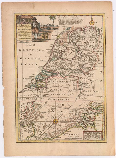
Subject: Low Countries

Period: 1750 (circa)

Publication:

Color: Hand Color

Size:
8.9 x 12.6 inches
22.6 x 32 cm
Download High Resolution Image
(or just click on image to launch the Zoom viewer)

This well-engraved map of the Netherlands includes parts of Belgium and Germany. The map is filled with details of towns, roads, boundary lines, and the topography of the land. The numerous sand banks in the North Sea and Zuyder Zee are well depicted in an inset at bottom. The decorative title cartouche is surrounded by a farmer and wheels of cheese.

References:

Condition: A

Watermarked paper with light toning and soiling along the edges of the sheet.

Estimate: $160 - $190

Sold for: $80

Closed on 9/4/2013

Archived