Catalog Archive
Auction 146, Lot 448

"Seconde Carte des Courones du Nord. Qui Comprend le Royaume de Danemark &c.", Covens & Mortier
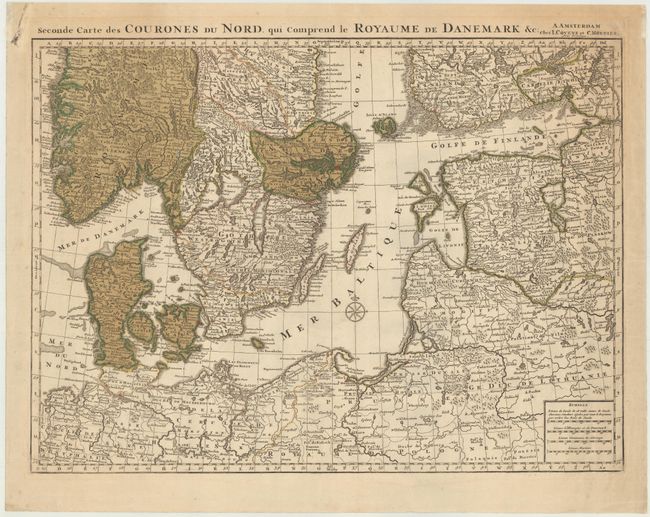
Subject: Baltic

Period: 1742 (circa)

Publication: Atlas Nouveau...

Color: Hand Color

Size:
23.8 x 18.1 inches
60.5 x 46 cm
Download High Resolution Image
(or just click on image to launch the Zoom viewer)

Handsome map shows the nations surrounding the Baltic Sea, stretching from the southern tips of Norway and Sweden to the northern part of Poland. The map is a Covens and Mortier re-engraving of Delisle's work.

References: Shirley (BL Atlases) T.COV-1a.

Condition: B+

Original color on watermarked paper with faint toning at top and an extraneous horizontal crease.

Estimate: $200 - $230

Sold for: $110

Closed on 9/4/2013

Archived