Subject: Western South America
Period: 1857 (dated)
Publication:
Color: Black & White
Size:
37 x 48 inches
94 x 121.9 cm
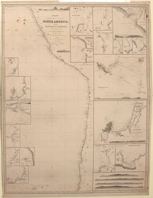
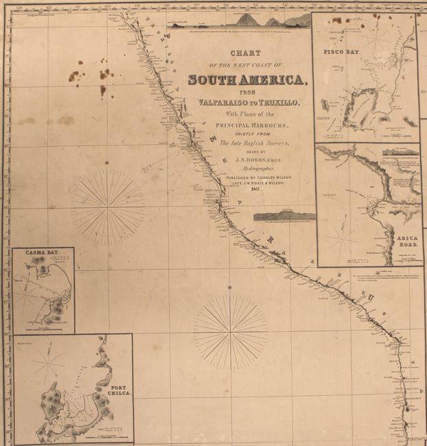
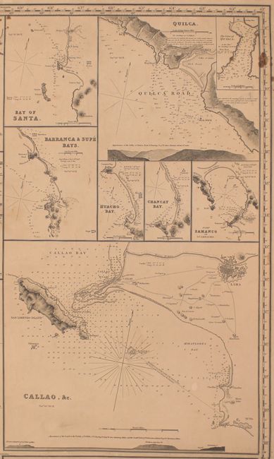
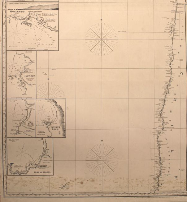
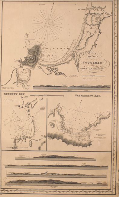
This impressive blueback chart depicts the coastline of South America from Trujillo, Peru to Valparaiso, Chile with numerous place names along the coast. The chart features 20 inset maps of various ports with detailed soundings, navigational information, and coastal topography. The insets include Callao and Lima, Coquimbo Bay, and Valparaiso Bay. Also included are a number of coastal approach views. This chart was published by Charles Wilson, who took over the Norie and Wilson company after John William Norie's death in 1843. Printed on two sheets, joined as issued.
John Norie (1772-1843) was a hydrographer, chart publisher, teacher and author of navigation manuals. He started out as a draftsman for William Heather, who he succeeded in 1812. Their business, located at 157 Lendenhall Street in London, became known as Naval Academy or Naval Warehouse. This preeminent cartographic firm exists today as Imray, Laurie, Norie & Wilson Ltd, still specializing in nautical charts.
References:
Condition: B
There are a few tiny abrasions and some small stains at top and bottom, otherwise the chart is fairly clean. One tear that enters 1" into chart at upper left has been closed on verso with the blue backing. Overall in good condition for a working chart.