Catalog Archive
Auction 146, Lot 341
"La Guyane Francoise, avec Partie de la Guyane Hollandoise: Suivant les Operations et les Cartes Recentes des Ingenieurs-Geographes Francois", Bonne, Rigobert
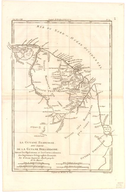
Subject: French Guiana
Period: 1782 (circa)
Publication:
Color: Black & White
Size:
8.7 x 12.5 inches
22.1 x 31.8 cm
Download High Resolution Image
(or just click on image to launch the Zoom viewer)
(or just click on image to launch the Zoom viewer)