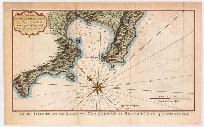
Subject: Zihuatanejo, Mexico
Period: 1749 (circa)
Publication: Voyage Around the World…
Color: Hand Color
Size:
14.2 x 7.9 inches
36.1 x 20.1 cm
This attractive chart showing the area of present-day Zihuatanejo, Mexico, comes from a Dutch edition of Anson's Voyage Around the World. In the water, soundings are included along with markings indicating rocks and notes indicating variants in the texture of the seafloor, such as coarse sand and seashells (Gros sable et Coquillages). The topography and vegetation of the land is shown in detailed illustration. A compass rose orients the map to the northeast. Engraved by van Schley. Dutch title below map: Grond-Tekening van den Haven van Chequetan of Suguataneo...
References: Shirley (BL Atlases) G.ANS-2a.
Condition: B+
Issued folding with some light offsetting in the image and some toning along the sheet's edges, outside the neatline.


