Catalog Archive
Auction 146, Lot 267

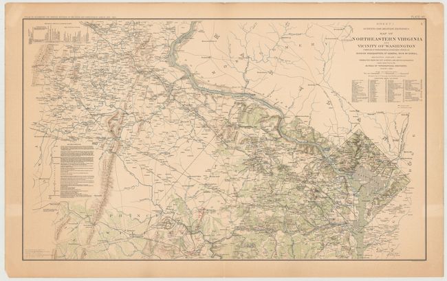
"Surveys for Military Defenses Map of Northeastern Virginia and Vicinity of Washington…", U.S. War Department
Subject: Northern Virginia, Washington DC, Civil War

Period: 1895 (circa)

Publication: Atlas to Accompany the Official Records of the Union and Confederate Armies

Color: Printed Color

Size:
27.3 x 16.5 inches
69.3 x 41.9 cm
Download High Resolution Image
(or just click on image to launch the Zoom viewer)

This Civil War map of Northern Virginia shows the Confederate and Union positions in red and blue overprinting. Highly detailed, it covers Loudon County, Fairfax County and the District showing roads, railroads, rivers and topography. This is plate VII from the Atlas to Accompany the Official Records of the Union and Confederate Armies.

References:

Condition: B+

Light toning with a centerfold separation at top that just enters the map image and has been closed on verso with archival tape. A few edge tears in the blank margins have also been closed on verso with archival tape.

Estimate: $160 - $200

Sold for: $140

Closed on 9/4/2013

Archived