Catalog Archive
Auction 146, Lot 252

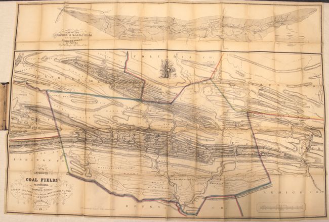
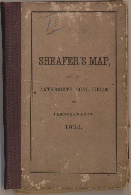
"A Map of the Anthracite Coal Fields of Pennsylvania Embracing All of Schuylkill County... [on sheet with] Map of the Wyoming and Lackawana Anthracite Coal Fields of Penna.", Sheafer, P. W.

Subject: Eastern Pennsylvania

Period: 1863 (dated)

Publication:

Color: Hand Color

Size:
38 x 25.9 inches
96.5 x 65.8 cm
Download High Resolution Image
(or just click on image to launch the Zoom viewer)

This rare and detailed pocket map of east central Pennsylvania is centered on the mining region around Schuykill County. Coal seams are overlaid on top of a topographic map with numerous mining companies identified, revealing an impressive amount of information. Above the main image is a separate map labeled Map of the Wyoming &Lackawana Anthracite Coal Fields. Lithographed by W.H. Rease in Philadelphia with the stamp of "P. & R. Coal and Iron Co." on verso. The map folds into stiff brown covers.

References:

Condition: B

Issued folding with light toning, numerous fold separations mostly closed on verso with archival tape, and a 5" tear just above the smaller map's title cartouche also closed on verso with archival tape. The covers show typical wear.

Estimate: $250 - $325

Sold for: $150

Closed on 9/4/2013

Archived