Subject: Eastern United States
Period: 1862 (dated)
Publication:
Color: Hand Color
Size:
39.5 x 33 inches
100.3 x 83.8 cm
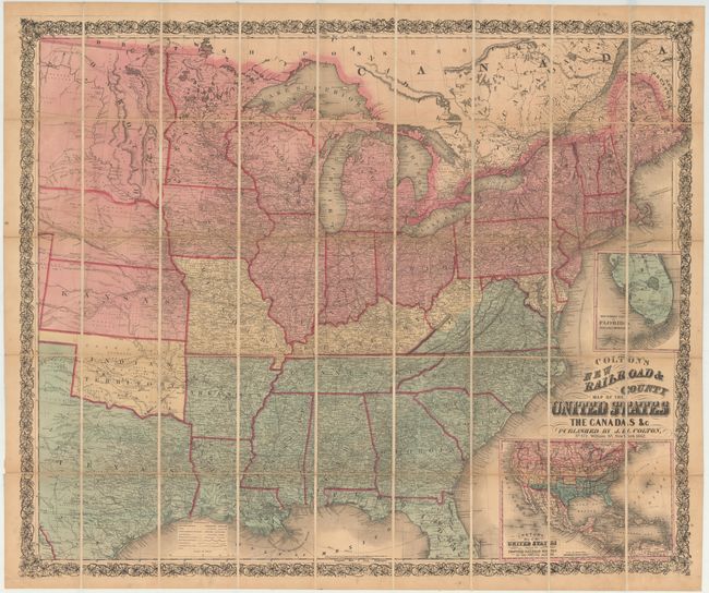
This is a rare Civil War era map showing the eastern half of the United States. While it was produced by Colton, the map was distributed by Edward Stanford in London and kept the British abreast of the war in America.
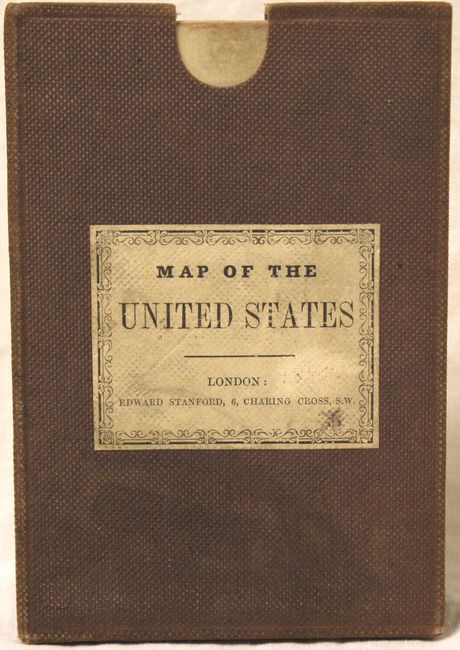
The map is the color coded to identify Union, Confederate and Border states. Virginia is in an interesting configuration as the western portion of the state is shown as a border state, despite West Virginia not achieving statehood until 1863. There is an extensive network of railroads displaying both existing and proposed routes. At right are two insets showing portions of Florida and North America. The inset of North America shows the proposed Central and Union Pacific Railroads in the U.S. and some unusual western territorial borders, including Arizona south of New Mexico (confederate configuration) and an early appearance of Colorado. The map is surrounded by a beautiful decorative border. Folds into a brown pebbled cloth slip case.
References: Stephenson #25.7
Condition: B+
Dissected and backed in original linen with faint offsetting, light toning, and a few minor spots. Case is good with light wear.