Subject: United States
Period: 1945 (circa)
Publication:
Color: Printed Color
Size:
35.2 x 28 inches
89.4 x 71.1 cm
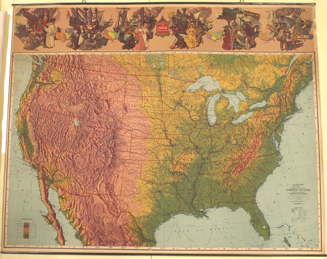
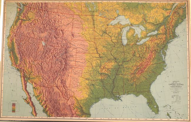
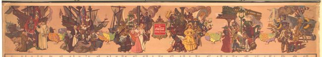
This wall map of the United States was published "Compliments of the Coca Cola Bottling Company." It shows the topography of the land in very bold colors and also depicts the extensive railroad network. Above the map are a series of six vignettes showing Columbus' arrival, Plymouth Rock, and a scene of WWII airmen to name a few. Between the vignettes are four maps showing the evolution of the nation and its borders from 1783-1870. The verso contains population statistics of towns and cities from the 1840 census. Published by the Ohman Co. in Memphis, Tennessee. The map is attached to metal poster hangers.
References:
Condition: B+
There are a few small abrasions in the map image, some light soiling, and minor chips along the left and right sheet edges. A 1.5" tear at top right has been archivally repaired.