Subject: United States
Period: 1855 (circa)
Publication:
Color: Hand Color
Size:
32.9 x 35 inches
83.6 x 88.9 cm
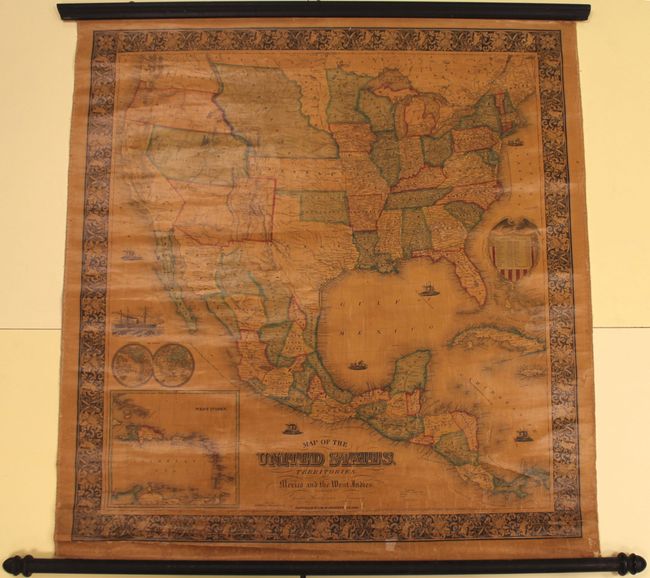
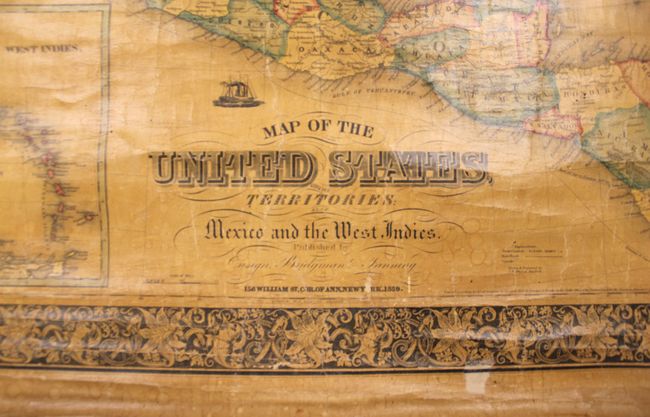
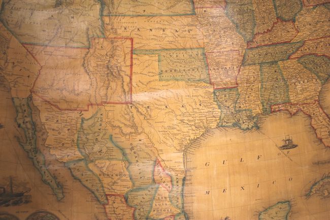
This outstanding wall map of the United States illustrates early western territorial development. The map depicts the large territories of Utah, New Mexico and Nebraska, with Oregon and Washington extending to the Continental Divide. Dacotah territory occupies the relatively small area from the Missouri River to the Sioux River. In California, the "Gold Region" is noted. The map has good detail of roads, major towns and villages, railroads, Indian tribes, rivers and forts. A number of routes and trails are noted such as Fremont's Route, the Great Spanish Trail and the Route of the Santa Fe Caravans. There are also two inset maps: a small double-hemisphere world map and the West Indies. A highly decorative border surrounds the map and the United States seal incorporates a table listing the population by state. The map was drawn and engraved by J.M. Atwood of New York.
References:
Condition: B
The map has overall toning from the varnish with several small cracks, chips and abrasions in the image. Wooden rollers are present and intact.