Subject: Western Hemisphere - America
Period: 1945 (circa)
Publication:
Color: Printed Color
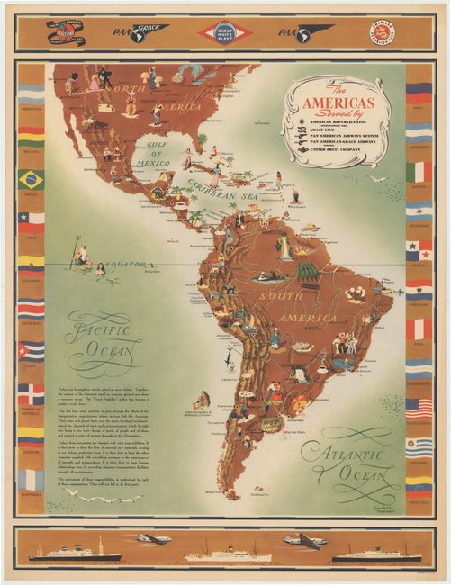
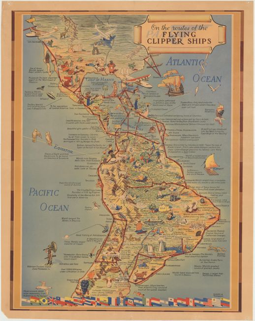
This lot includes two colorful pictorial maps of the Americas by Kenneth Thompson. Both of the maps focus on the growing trade and transportation routes between North and South America and are filled with numerous illustrations depicting resources, crops and industry. Decorative borders.
A. The Americas... (21.5 x 28.5"). Condition: Excellent. (A+)
B. On the Routes of the Flying Clipper Ships (16.5 x 21.5"). Condition: There are two long extraneous creases where the map was previously folded, but is now flattened. There is one small hole at the fold intersection, light toning, and a few edge tears confined to the blank margins. (B)
References:
Condition:
See description above.