Subject: Atlases
Period: 1755 (dated)
Publication:
Color: Black & White
Size:
6 x 7 inches
15.2 x 17.8 cm
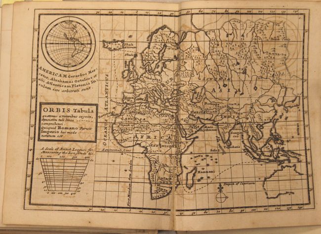
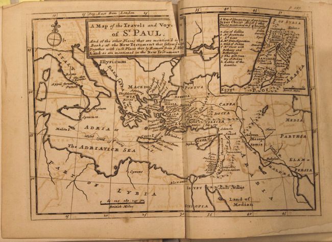
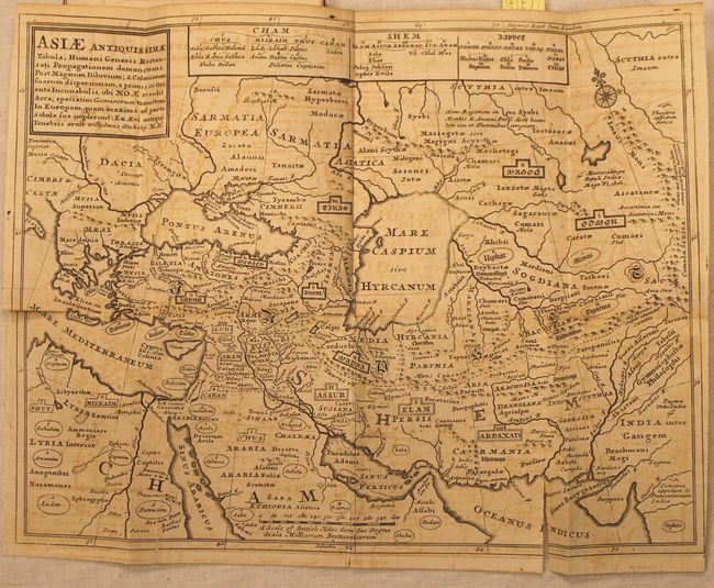
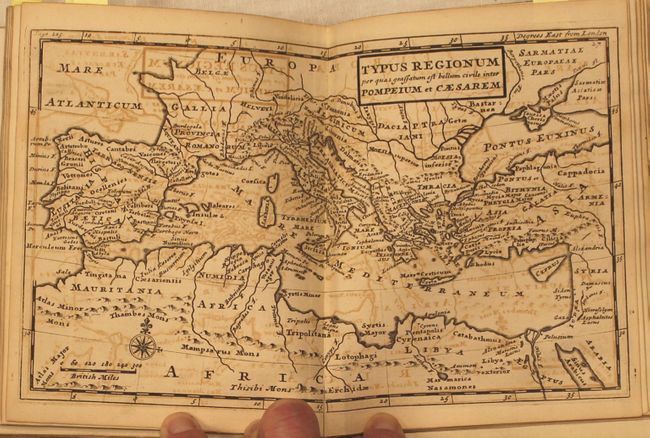
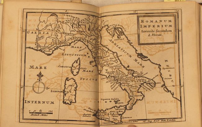
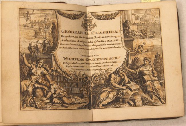
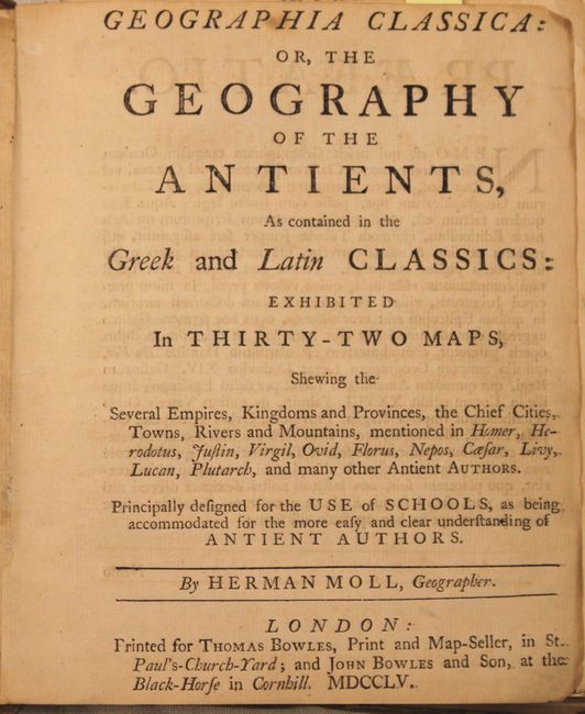
This atlas contains 32 double page and folding maps of the Ancient World based upon the Greek and Latin Classics. It shows the "Several Empires, Kingdoms and Provinces, the Chief Cites, Towns, Rivers, and Mountains, mentioned in Homer, Herodotus, Virgil, Livy...and many other Antient Authors" and was intended as an aid to students as they studied these works. Moll add ed some modern features to make the maps more useful including the addition of a Mercator Projection and a distance scale in British Miles. 12mo, quarter-leather with marbled-paper covered boards. Title, preface, and table of contents are shown in both Latin and English with an additional double-page illustration. Published by Thomas Bowles and John Bowles & Son.
References:
Condition: B
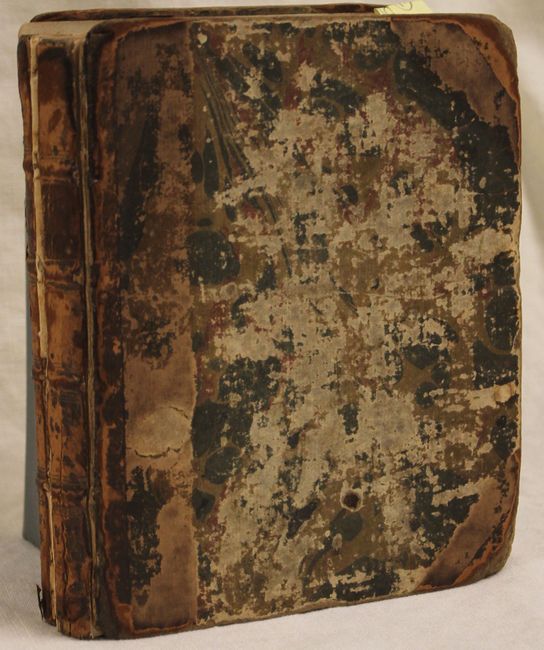
Condition code is for the maps, which are generally good with offsetting throughout and some occasional fold separations and minor repairs on the folding maps. The covers are heavily worn and detached, the spine has perished, and the text block has separated in two. Title pages and preface are loose.