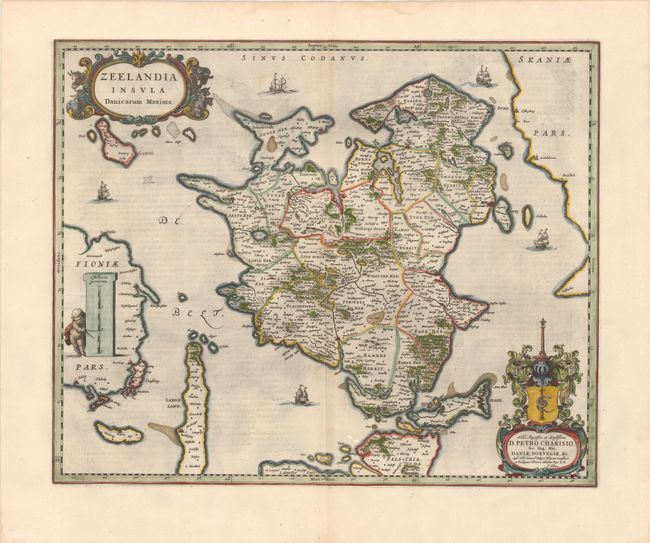
Subject: Zealand, Denmark
Period: 1660 (circa)
Publication:
Color: Hand Color
Size:
21.2 x 17.3 inches
53.8 x 43.9 cm
This decorative map of Zealand extends to the coastlines of Sweden, Fyn and several surrounding islands. There is good detail of political divisions, forested areas, and cities, including Copenhagen (Kiobenhafven) on the eastern coast. The map is adorned with five ships, a strapwork title cartouche flanked by cows and sheep, and a cherub with dividers pointing to a unique vertical distance scale. A secondary cartouche dedicates the map to Petrus Charisius, the official representative of Denmark and Norway in The Hague from 1651-69, and features a coat of arms with a serpent coiled around a column, signifying wisdom with fortitude. Dutch text on verso.
References:
Condition: B+
A fine impression on watermarked paper with light offsetting, minor printer's ink residue, and some show-through of text on verso.


