Catalog Archive
Auction 145, Lot 46

"Carte pour Servir a l'Histoire Philosophique et Politique des Etablissemens et du Commerce des Europeens dans lex deux Indes", Bonne, Rigobert

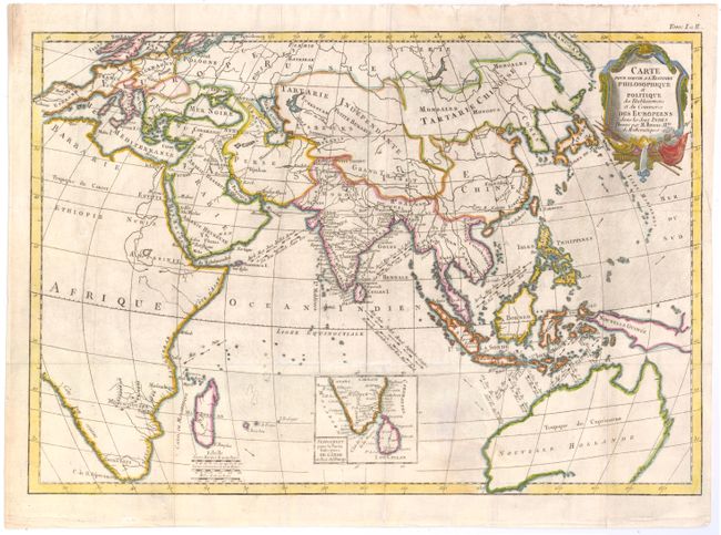
Subject: Eastern Hemisphere

Period: 1774 (circa)

Publication:

Color: Hand Color

Size:
18.3 x 12.6 inches
46.5 x 32 cm
Download High Resolution Image
(or just click on image to launch the Zoom viewer)

This chart is roughly centered on the Indian Ocean and includes most of Africa, Europe, Asia, and Australia. The focus of the chart is European trade and commerce with the East Indies. Arrows depict the directions of the currents or prevailing winds in the oceans. There is a fair amount of detail in India, and the map includes an inset of southern India and Sri Lanka.

References:

Condition: B

Issued folding on watermarked paper with a few minute holes at fold intersections and a professionally repaired binding tear that enters 1" into map at top right. There is light soiling and a stain west of Australia.

Estimate: $190 - $220

Sold for: $90

Closed on 6/12/2013

Archived