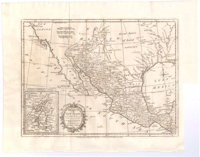
Subject: Western United States & Mexico
Period: 1795 (dated)
Publication: Robertson's History of America
Color: Black & White
Size:
15 x 11.2 inches
38.1 x 28.4 cm
This is a very attractive map of the American Southwest and Mexico. California is labeled New Albion with no detail outside of a few coastal place names. The region of present-day Arizona and New Mexico is well delineated with numerous Indian villages and the locations of missions. The area from New Mexico to Louisiana is named as "Great Space of Land Unknown." The small Texas settlement of Cenis is near the New Kingdm. of Leon. An inset shows Mexico City on the large Lake of Mexico. Finely engraved with a decorative title cartouche and compass rose. This map was originally published in 1777, this being the 1795 edition by W. Strahan and T. Cadell.
References: Wheat (TMW) #172.
Condition: B+
Issued folding with light offsetting and a binding trim at bottom right, but still ample room for framing. There are a few minute worm holes in blank areas of image and two worm tracks in left border that have all been professionally infilled.


