Subject: Texas
Period: 1875 (dated)
Publication:
Color: Printed Color
Size:
5.5 x 9.2 inches
14 x 23.4 cm
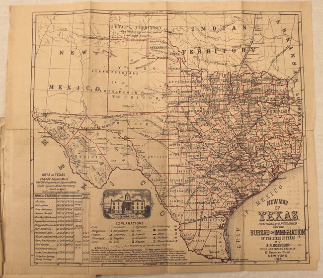
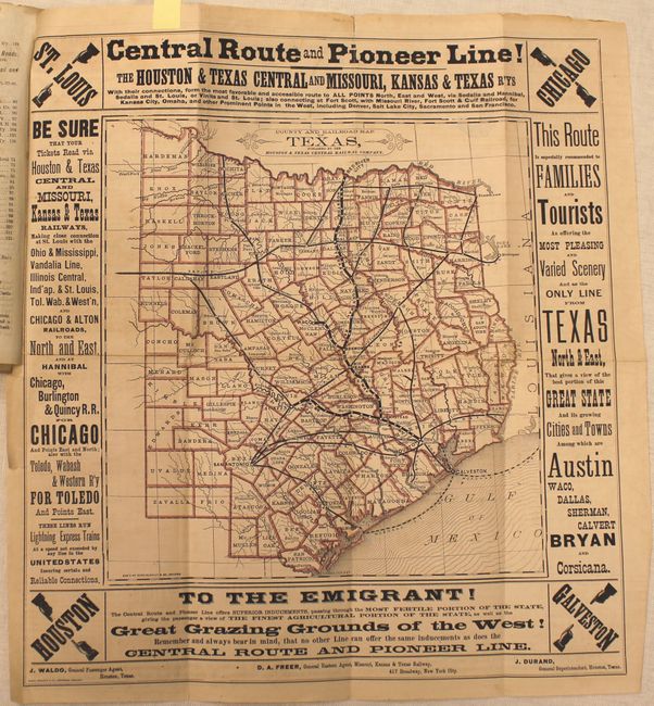
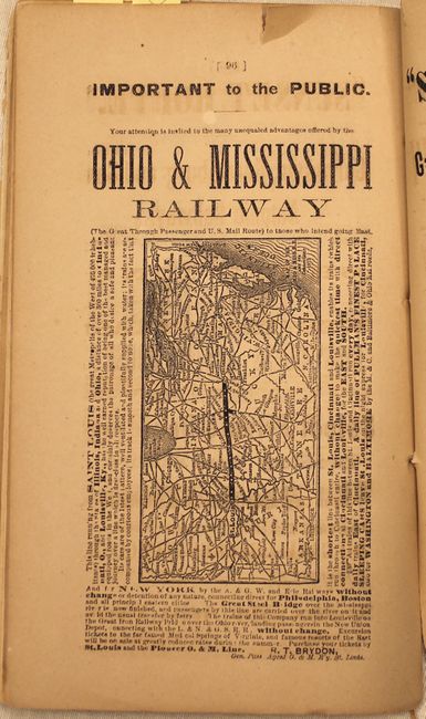
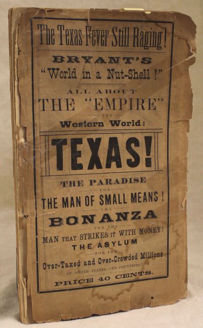
This rare Texas tourist and emigration guide proclaims that "The Texas Fever Still Raging" at the top of its front cover. Included in the guide is an early version of the important Roessler map, which is the only published map to preserve the results of the first Texas geological survey under B. F. Shumard. Roessler's Texas map was first published in 1874, followed by a small format version in an official 1875 publication, "Texas, Home for the Emigrant, from Everywhere" published by the Texas Bureau of Immigration. The next appearance of the Roessler map appears to be the one in the present publication, evidently having the same title and dimensions, but published in late 1875 based on information contained within the guide. No sales records exist over the last thirty years. This map, one other folding map, and 3 single page maps are still bound into the 130 pp. Bryant's Railroad Guide with tan wrappers. The folding maps are described below:
A. New Map of Texas, by Anton Roessler, dated 1875, (16.1 x 14.9"). A key at bottom shows 20 different geologic units including gold, silver, copper, iron and coal. Counties are delineated with Bexar and Young Territories occupying the panhandle. Existing and proposed railroad and telegraph lines are shown. Condition: Issued folding with numerous splits along the folds that have been partially closed on verso with archival tape with light offsetting and toning.
B. County and Railroad Map of Texas, published by Houston and Texas Central Railway Company, (11 x 11.3"). Shows the major railroad lines connecting Houston, Austin and Dallas with counties delineated in red. Condition: There are a few splits along the folds that are partially closed on verso, light toning, and a short binding tear at left that does not enter the map image.
References: cf. Day p. 90; cf. Taliaferro #349.
Condition: B
Text is toned with some occasional chips along the edge of the pages. Back wrapper is missing and the front cover is nearly detached with a repaired tear and damp stain. For condition of maps please see description above.