Catalog Archive
Auction 145, Lot 170

"East Bound Rate Group Map or Trunk Line and New England Territories",

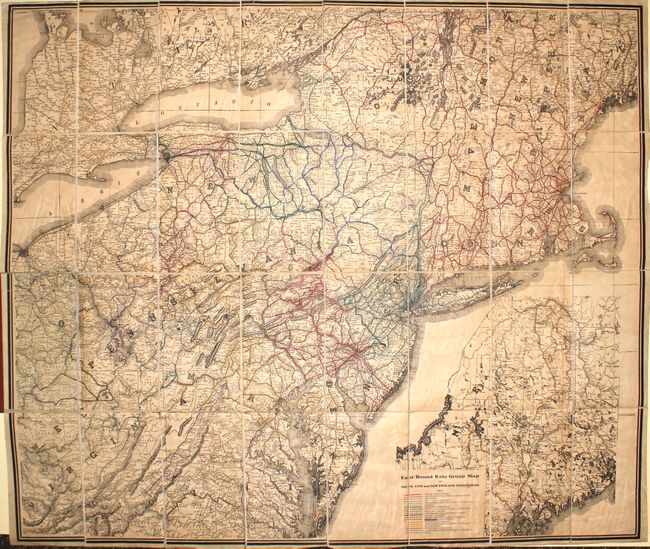
Subject: Eastern United States

Period: 1912 (dated)

Publication:

Color: Printed Color

Size:
40.7 x 34.8 inches
103.4 x 88.4 cm
Download High Resolution Image
(or just click on image to launch the Zoom viewer)

This large-format map of the Mid-Atlantic and Northeast covers the area from Virginia to Maine. The map shows the extensive railroad network in color overprinting and displays county boundaries, towns and cities, rivers and mountains in hachure. Dissected and backed with linen, the map folds into red cloth covers. Published by Eugene Morris.

References:

Condition: B+

The map has light toning and offsetting. Covers show light wear with some pencil notations.

Estimate: $160 - $200

Unsold

Closed on 6/12/2013

Archived