Catalog Archive
Auction 145, Lot 121

"Plan of the Different Channels, Leading from Kingston to Lake Ontario; Surveyed by Josh. Bouchette. 1796", Faden, William

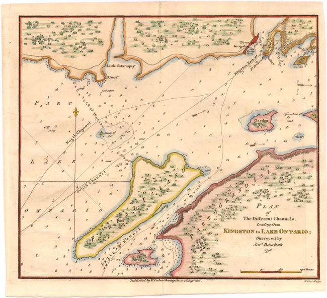
Subject: Lake Ontario

Period: 1815 (dated)

Publication:

Color: Hand Color

Size:
9.8 x 8.6 inches
24.9 x 21.8 cm
Download High Resolution Image
(or just click on image to launch the Zoom viewer)

This small, detailed chart shows the northeastern tip of Lake Ontario where it joins the St. Lawrence River, between Kingston, Simcoe Island (Forest Island), and Wolfe Island (Grand Isle). The waters are filled with depth soundings, rocks, current arrows, and navigable paths. Surveyed by Joseph Bouchette and engraved by J. Walker.

References:

Condition: B+

With "J. Whatman 1814" watermark and light offsetting.

Estimate: $160 - $200

Sold for: $160

Closed on 6/12/2013

Archived