Catalog Archive
Auction 144, Lot 228

"Suite de la Carte de la Siberie et le Pays de Kamtschatka pour l'Histoire Generale des Voyages", Bellin, Jacques Nicolas

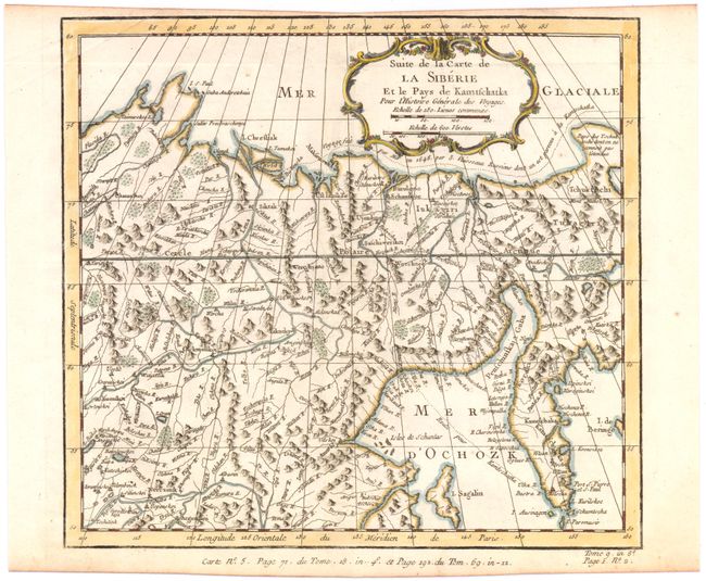
Subject: Northeastern Russia

Period: 1754 (circa)

Publication: Prevost's Histoire Generale des Voyages

Color: Hand Color

Size:
10.2 x 9.5 inches
25.9 x 24.1 cm
Download High Resolution Image
(or just click on image to launch the Zoom viewer)

A fine map of eastern Siberia above and below the Arctic Circle, showing the Sea of Okhotsk, the Kamtschatka Peninsula, and Sakhalin Island. The map depicts Russia's northern coastline along the Arctic Sea, and shows the tracks of an exploratory voyage to Kamtschatka made in 1648 by three Russian ships. The land is filled with rivers and mountain ranges, with a few cities, towns, and regions identified. A decorative title cartouche in top right containing leaf, flower, and scroll motifs adorns the map.

References:

Condition: A

Watermarked paper with light creasing in top corners. Narrow top margin apparently as issued.

Estimate: $140 - $180

Sold for: $100

Closed on 4/3/2013

Archived