Catalog Archive
Auction 144, Lot 197

"L'Umbria ed I Territorj di Perugia, e di Orvieto di Nuova Projezione", Zatta, Antonio

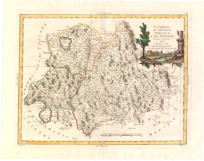
Subject: Central Italy

Period: 1783 (dated)

Publication: Atlante Novissimo

Color: Hand Color

Size:
15.7 x 12.2 inches
39.9 x 31 cm
Download High Resolution Image
(or just click on image to launch the Zoom viewer)

This highly detailed map of the Umbria region extends to include the lakes of Trasimeno and Bolsena, and the cities of Terni, Perugia, Orvieto, Assisi, Foligno and Norcia. The mountainous topography is well depicted, and the map is adorned with a vignette of a house and tower in the countryside. Engraved by Giovanni Pitteri and Giuliano Zuliani.

References: Shirley (BL Atlases) T.ZAT-1a, Vol 3 #23.

Condition: B+

Watermarked paper with wide margins, a hint of toning along centerfold, a few minor spots of discoloration, and a worm track along centerfold at bottom of map that has been archivally repaired.

Estimate: $200 - $240

Sold for: $300

Closed on 4/3/2013

Archived