Subject: Atlases
Period: 1861 (published)
Publication:
Color: Hand Color
Size:
7.2 x 10.3 inches
18.3 x 26.2 cm
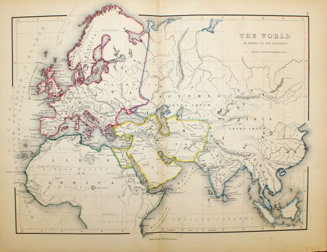
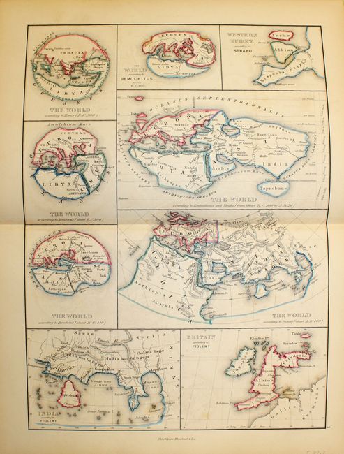
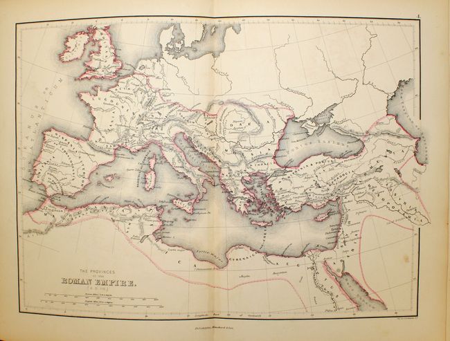
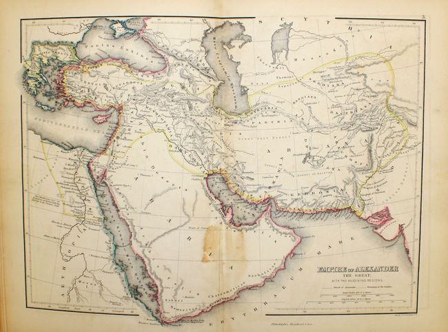
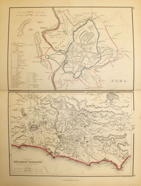
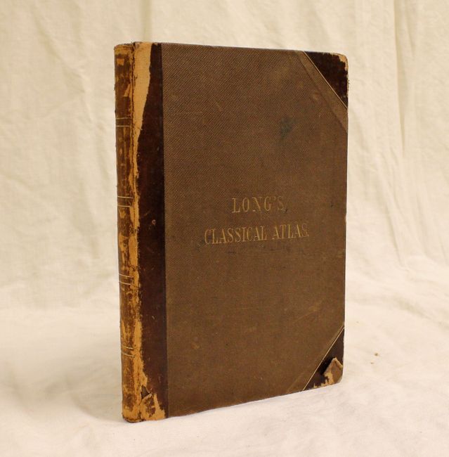
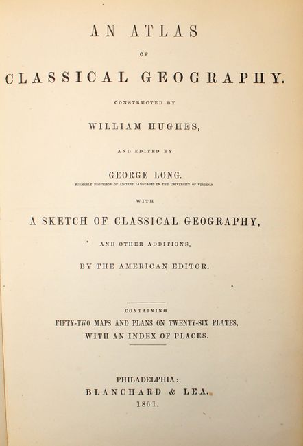
A nice example of this complete atlas. The 24-page "Sketch of Classical Geography" was written by the editor George Long, formerly Professor of Ancient Languages at the University of Virginia. The maps cover the Roman Empire from Great Britain to Asia Minor. Towns, rivers, mountains, and lakes have their Latin names. Composed of 21 double-page maps plus five sheets with multiple maps and city plans. Quarto, title page, American Publisher's Notice, Preface, List of Plates, Sketch of Classical Geography, 52 maps on 26 sheets, Index. The index is followed by several un-numbered pages advertising Blanchard & Lea's educational publications. Hardbound in brown textured cloth with quarter leather spine and tips with gilt title on cover (Long's Classical Atlas). This is the American edition published by Blanchard & Lea.
References:
Condition: B+
The maps are in very good condition, with light offsetting and centerfold toning, and occasional foxing and pencil/ink marks. There are numerous pencil/ink notations in front free end-papers, as well as a previous owners' bookplate. Binding is very good with wear to spine and corners. Front cover is nearly detached.