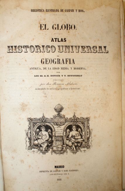
Subject: Atlases
Period: 1852 (published)
Publication:
Color: Hand Color
Size:
6.8 x 10.5 inches
17.3 x 26.7 cm
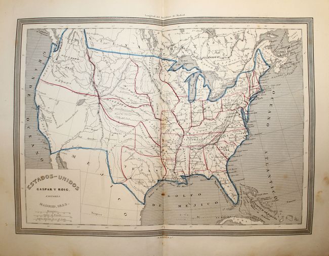
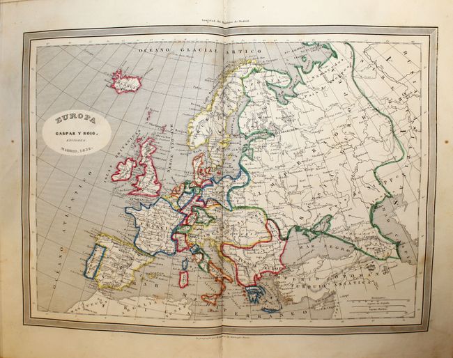
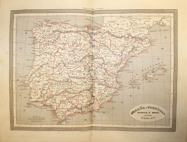
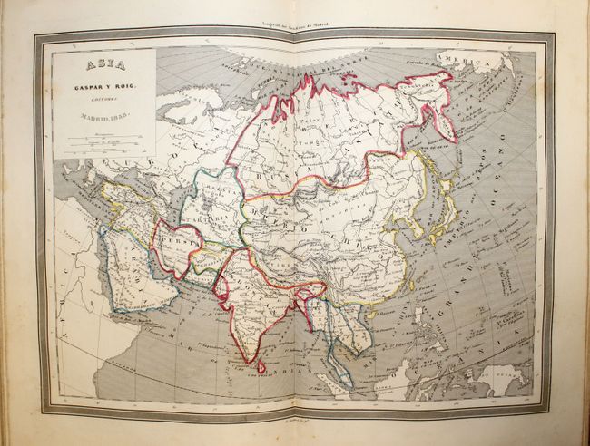
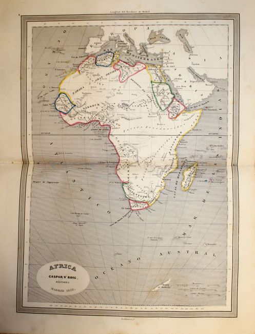
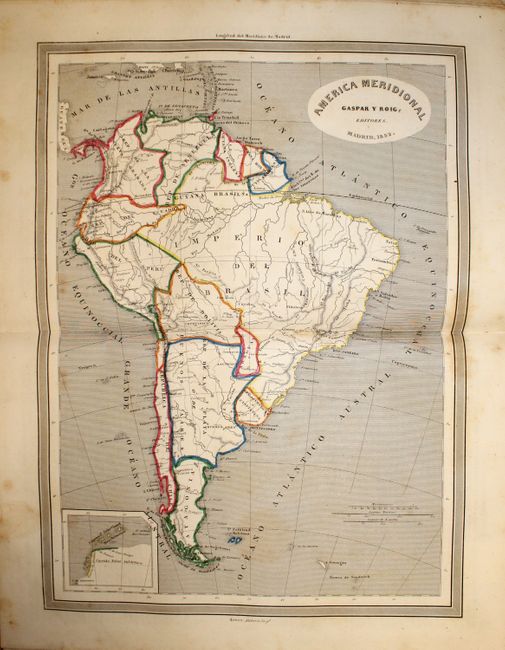
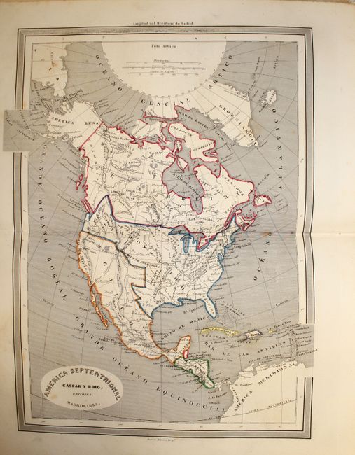
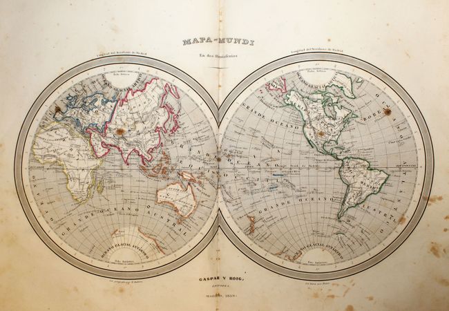
Complete atlas containing 45 double-page maps including 18 historical and 27 modern maps. The maps are focused primarily on Europe and Asia, but there are modern maps of the world as well as the continents of Africa, Australia, North America, South America, and a map of the United States. Includes 292 pp. of descriptive text covering the history, geography, political divisions and major cities of the selected areas.
The map of the United States shows the northwest as Oregon Territory with a classic Fifty-Four Forty or Fight boundary with U.S. territory extending well into Canada. The Midwest is composed of Indian Territories: Huron occupies Wisconsin, reaching the large District des Sioux at the Mississippi, which itself stretches to the Missouri River. The huge Districe des Mandanes continues from the Missouri River to the Rocky Mountain where it meets Oregon Territory. Further south are the Ozark and Osage districts. The double-page map of North America shows the same configuration.
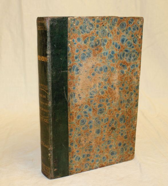
Octavo, hardbound in original quarter leather over green speckled paper boards with gilt title on spine and marbled endpapers.
References:
Condition: B+
Maps and text are good to very good with scattered foxing. The world map has some brown stains mainly confined to the blank margins. The covers and spine are bumped and worn and the hinge is starting.