Subject: Atlases
Period: 1849 (published)
Publication:
Color: Hand Color
Size:
14 x 18 inches
35.6 x 45.7 cm
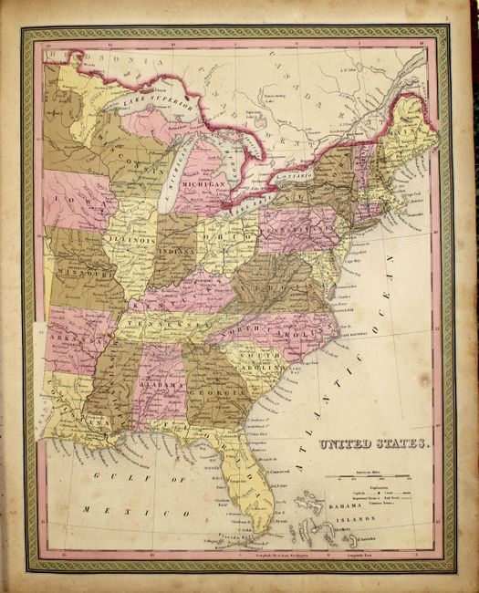
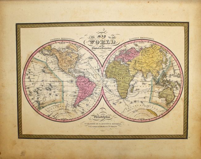
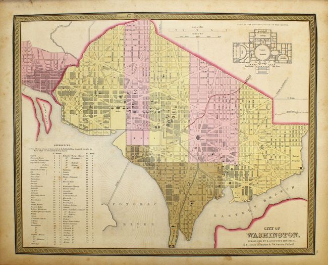
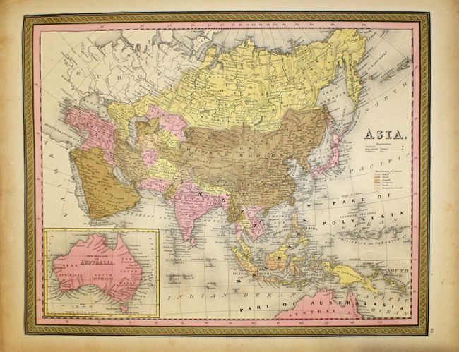
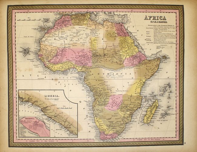
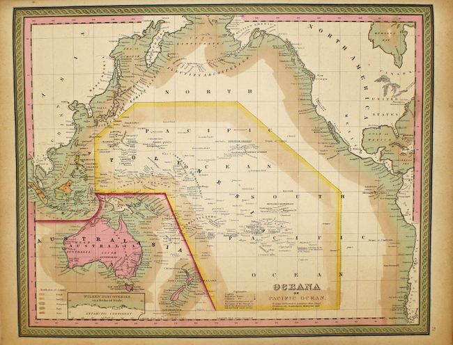
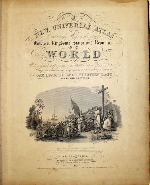
The title continues "With a special map of each of the United States, Plans of Cities &c. Comprehended in seventy sheets and forming a series of one hundred and seventeen Maps Plans and Sections." This is a nice copy of this famous and highly sought-after atlas, complete with 73 hand colored plates, including maps of the world, North America and the other continents, Oceania, the United States and its territories, and numerous city plans.
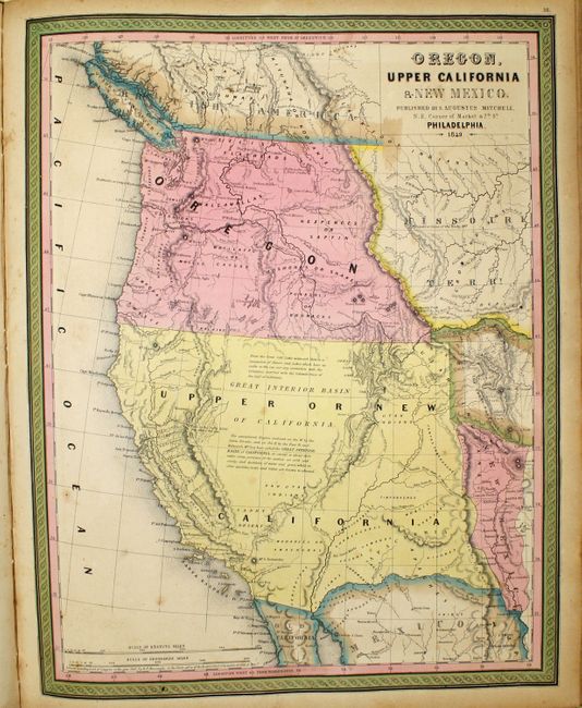
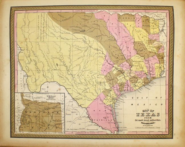
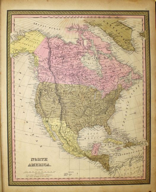
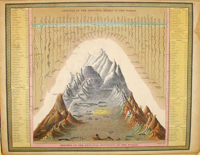
The atlas concentrates mainly on the American continent, and features many important and desirable maps including a fine map of Texas with a transitional border. Contains a nice edition of "Oregon, Upper California & New Mexico" which shows numerous Indian tribes and a large "unexplored region" called the Great Interior Basin. The map of North America labels the entire west as Upper California and the Northwest as Oregon. A small New Mexico is squeezed between Upper California and Texas. The frontispiece is a hand colored, engraved diagram showing the lengths of rivers and heights of mountains. The title page includes a fine chromolithographic image titled "First Landing of Columbus in the New World."
Samuel Augustus Mitchell and his sons were the leading publishers of maps in the United States during most of the nineteenth century. Mitchell had come to Philadelphia around 1830 with the intention of improving the standard of geography textbooks. A New American Atlas, published in 1831, was his first work. Then, in 1845 he acquired the rights to Tanner's New Universal Atlas, and in 1846 he published his first edition of the present work. Mitchell published the atlas until 1850, when he sold the copyright to Cowperthwaite & Co. of Philadelphia, who continued to publish it until the mid-1850s, when it was purchased by Charles DeSilver.
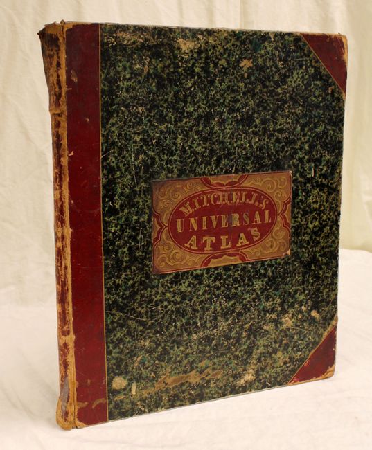
Folio. Hardbound, frontis, pictorial title page, table of contents, 72 hand-colored maps. Bound in original marbled paper with red leather tips and spine, and a red leather title label on front cover. This edition was published by S. Augustus Mitchell, NE corner of Market & 7th Streets. An increasingly difficult to find atlas.
References:
Condition: B+
The maps are in original color with light, scattered foxing and minor toning, primarily along sheet edges. The hinges are starting and the covers are worn and starting to detach. The spine is also partially detached and heavily worn. Still a nice example.