Subject: Atlases
Period: 1816 (published)
Publication:
Color: Hand Color
Size:
10.3 x 8.3 inches
26.2 x 21.1 cm
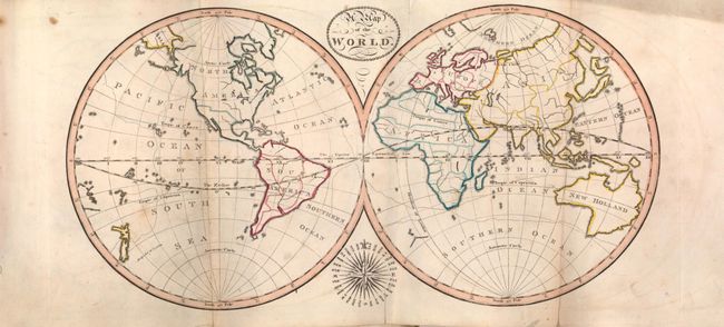
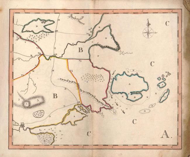
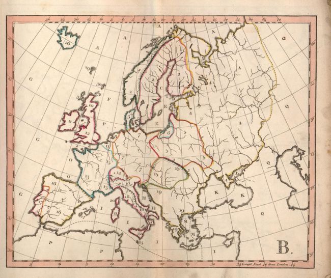
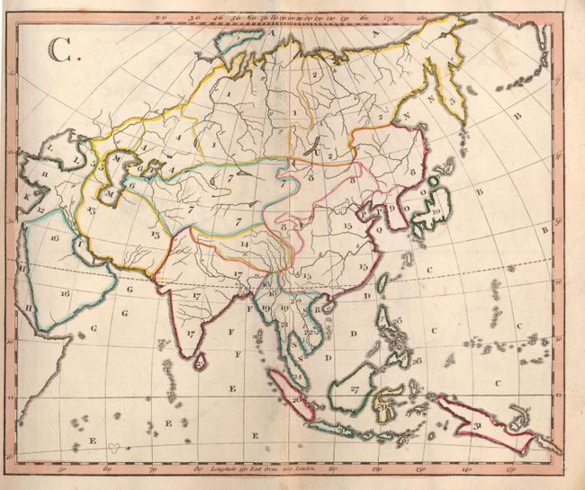
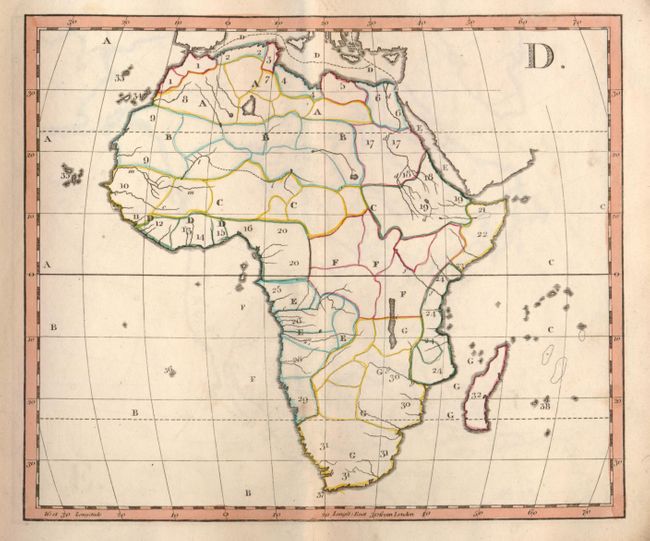
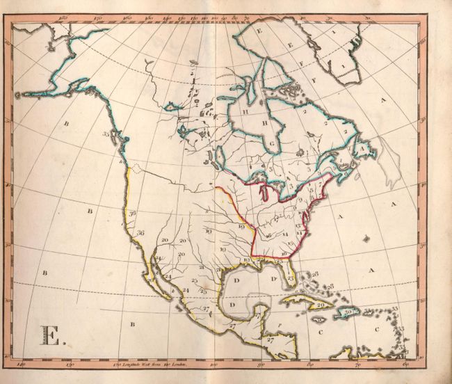
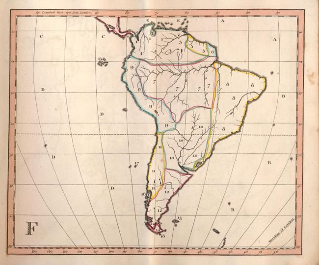
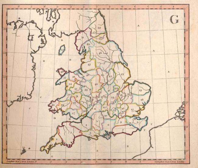
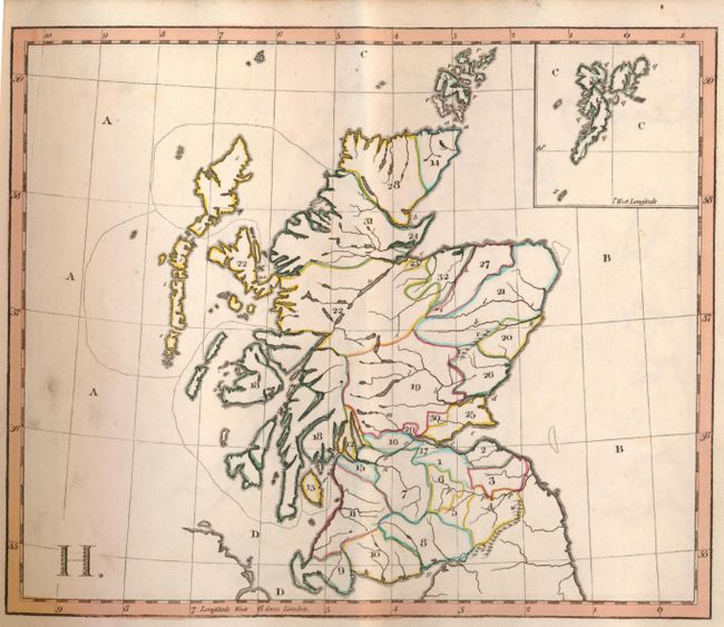
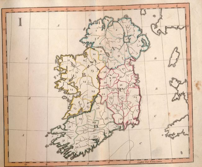
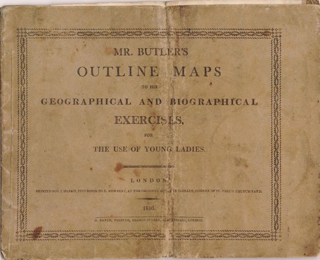
This is a very early school atlas designed specifically for Young Ladies. It was published at a time when formal female education was rare, particularly in the sciences. The small school atlas contains 10 maps: double-hemisphere world (fold-out), Europe, Asia, Africa, North America, South America, England & Wales, Scotland, Ireland, and a fictional map used to demonstrate geographical features on a map. Only the world map is titled (A Map of the World), with the remaining maps marked simply with letters and numerals to identify countries, cities, and bodies of water. On the world map, Tasmania is still attached to New Holland. In North America, a conjectural Sea of the West is depicted, and the United States is contained east of the Mississippi River and north of Florida. Original paper covers with title page printed in black on front cover, bound with string.
References:
Condition: B
The entire atlas was folded in half vertically. The maps are in original outline color, and most are in very good condition with some soiling, a couple of spots of foxing, and a vertical crease. The world map and fictitious map have moderate soiling, and the world map has a short fold separation at bottom. The string binding is intact, although several of the maps are coming loose. The covers are heavily worn and stained.