Catalog Archive
Auction 143, Lot 712

"China, Divided into it's Great Provinces; According to the Best Authorities", Dilly & Robinson

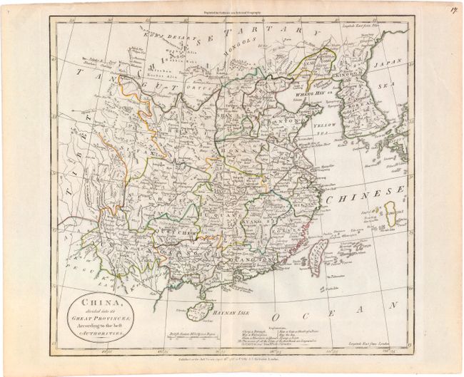
Subject: China & Korea

Period: 1785 (dated)

Publication: Guthries New System of Geography

Color: Hand Color

Size:
14.2 x 13.3 inches
36.1 x 33.8 cm
Download High Resolution Image
(or just click on image to launch the Zoom viewer)

This map outlines China's provinces and provides many place names and topographical features, with good detail of political divisions, towns and villages, mountains and rivers. The map includes part of Japan in the east and extends inland to Tibet. Numerous small islands around Taywan or Formosa I., Okinawa, and Korea are located. An explanation at bottom notes that first rank cities are engraved in capital letters.

References:

Condition: A

Original outline color on watermarked paper with a hint of toning along centerfold and one tiny tear in bottom blank margin that has been repaired with archival tape.

Estimate: $190 - $230

Unsold

Closed on 2/13/2013

Archived