Catalog Archive
Auction 143, Lot 579

"A Map of the Seat of War in Hungary, Between the Imperialists & the Turks", Dubosc, Claude

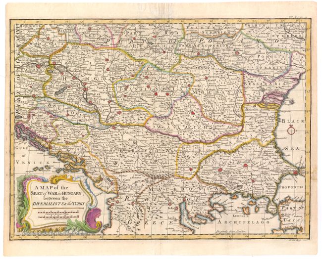
Subject: Eastern Europe

Period: 1750 (circa)

Publication:

Color: Hand Color

Size:
17 x 12.5 inches
43.2 x 31.8 cm
Download High Resolution Image
(or just click on image to launch the Zoom viewer)

This map of southeastern Europe shows the areas where many of the military conflicts of the Ottoman-Hapsburg wars occurred during the early 18th century. The map is filled with depictions of fortified cities, political boundaries, roads, and the topography of the land.

References:

Condition: A

Watermarked paper with an archivally repaired hole just outside of neatline to the right of Constantinople, with a minute amount of neatline in facsimile.

Estimate: $200 - $240

Sold for: $200

Closed on 2/13/2013

Archived