Catalog Archive
Auction 143, Lot 544

"Germania Secundum Observationes Tychonis de Brahe, Kepleri, Snellij, Zeileri…", Lotter, Tobias Conrad
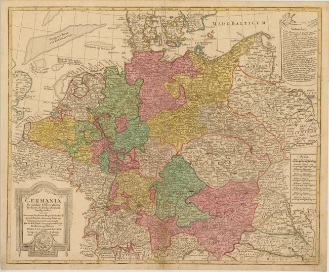
Subject: Germany

Period: 1750 (circa)

Publication:

Color: Hand Color

Size:
23 x 19 inches
58.4 x 48.3 cm
Download High Resolution Image
(or just click on image to launch the Zoom viewer)

This map shows all of central Europe from Belgium and France through Poland, including northern Italy and Hungary. Extensive details of towns, political boundaries, rivers, mountains and lakes are shown. The map is adorned by 9 different distance scales and a decorative title cartouche.

References:

Condition: B

There are two small worm tracks along the upper centerfold, one tiny hole at lower right in Sclavonia, some minor ink notations in the image, and light soiling. A 1" tear in image at bottom right has been partially closed on verso with old paper.

Estimate: $120 - $150

Sold for: $75

Closed on 2/13/2013

Archived