Subject: Switzerland & Austria
Period: 1850-58 (circa)
Publication:
Color: Hand Color
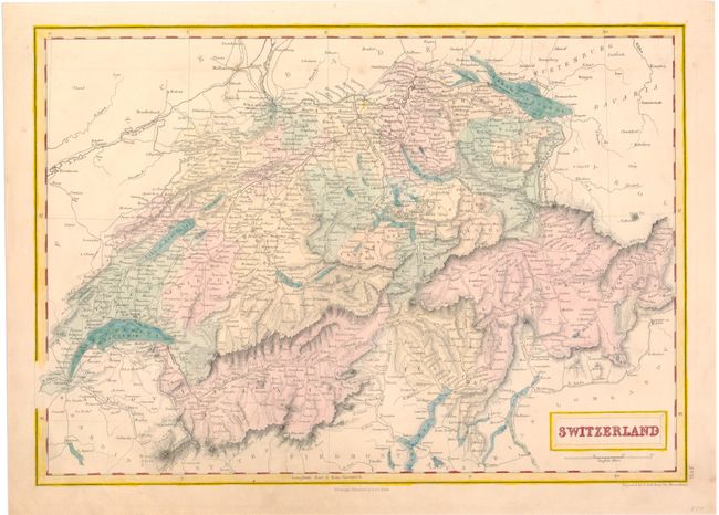
A. Switzerland, by Sidney Hall, circa 1850 (14.8 x 10.5"). A map showing Switzerland divided into its cantons. There is excellent detail of the lakes, mountains, rivers, and roads in the region. Published by A. & C. Black. Condition: Even toning with a couple tiny spots. (B+)
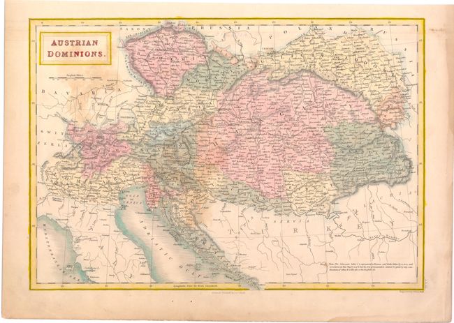
B. Austrian Dominions, by Sidney Hall, circa 1850 (15.0 x 10.3"). A map depicting the Austrian Empire at the height of its power, with the different countries and provinces under its influence delineated. Numerous place names, rivers, mountains, and roads are included. Published by A. & C. Black. Condition: Light, even toning, a few stains, and an ink notation at top center. (B)
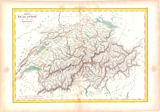
C. Carte de la Suisse, ou Helvetie, by Delamarche, dated 1858 (16.2 x 11.2"). This map is boldly engraved to show the remarkable topography of Switzerland, and labels Switzerland's cantons, major cities, and rivers. Condition: Watermarked paper with faint toning along centerfold and some scattered stains in blank margins. (B+)
References:
Condition:
See descriptions above.