Catalog Archive
Auction 143, Lot 52

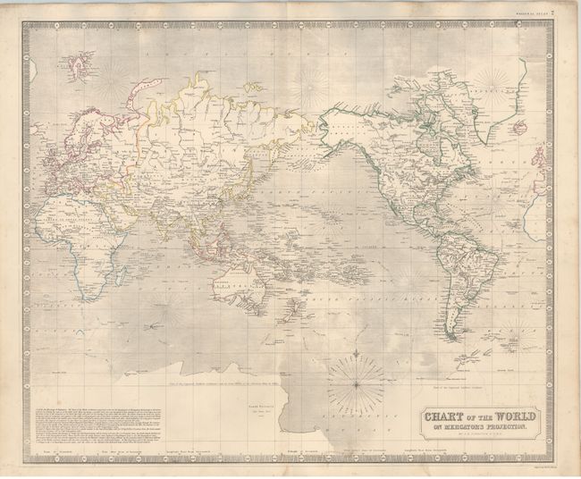
"Chart of the World on Mercator's Projection", Johnston, W. & A.K.
Subject: World

Period: 1846 (circa)

Publication: National Atlas

Color: Hand Color

Size:
23.8 x 19.8 inches
60.5 x 50.3 cm
Download High Resolution Image
(or just click on image to launch the Zoom viewer)

This detailed map of the world is centered on the Pacific Ocean, and shows the tracts of Captain Cook's voyages in the Southern Hemisphere. A rudimentary outline of Antarctica is shown, with the interior labeled "part of the supposed southern continent." A decorative piano key border embellishes the map.

References:

Condition: B+

Thick paper with light, scattered foxing and minor soiling.

Estimate: $110 - $150

Unsold

Closed on 2/13/2013

Archived