Subject: Low Countries
Period: 1740 (circa)
Publication: Modern History
Color: Black & White
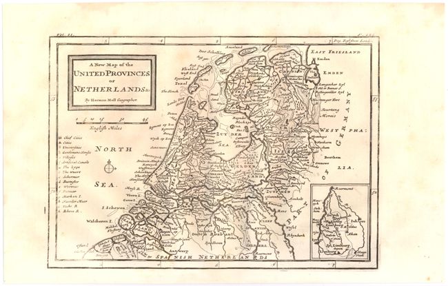
A. New Map of the United Provinces or Netherlands &c., (10.0 x 7.0"). Detailed map showing towns and cities, rivers, topography and the coastline. Universities, "Gentlemens Houses," and canals are also shown. An inset at lower right shows Limburg, the southern-most portion of present-day Netherlands.
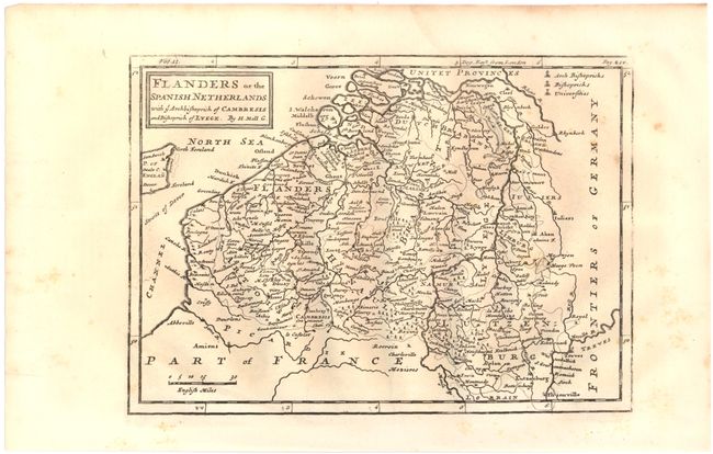
B. Flanders or the Spanish Netherlands, (10.0 x 7.0"). Map covers present-day Belgium, Luxemburg and portions of France. Shows cities, rivers, and churches.
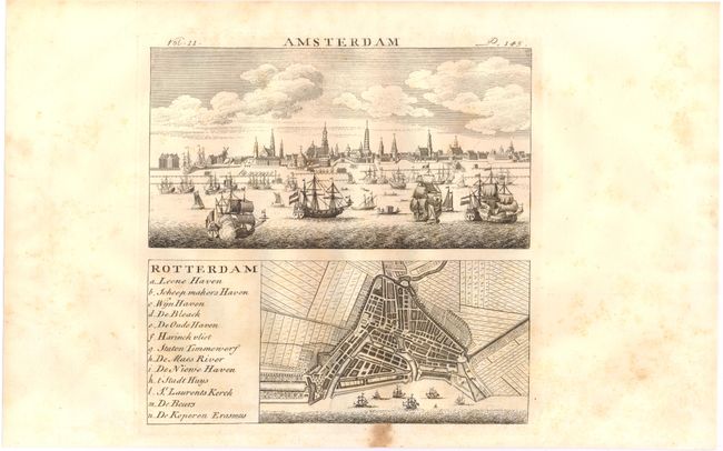
C. Amsterdam [on sheet with] Rotterdam, (7.5 x 7.3"). The top portion of the sheet shows a view of Amsterdam with numerous ships and boats dotting the sea in the foreground. At bottom is a plan of Rotterdam identifying thirteen important locations.
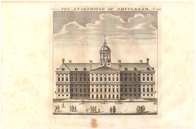
D. The Stadthouse of Amsterdam, (7.3 x 7.2"). Attractive view showing the town hall and square.
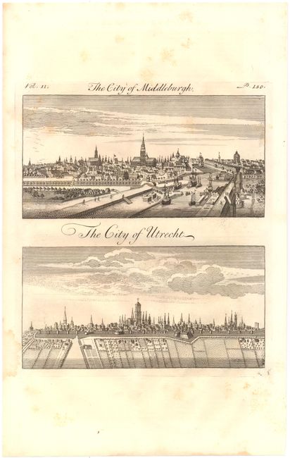
E. The City of Middleburgh [on sheet with] The City of Utrecht, (7.4 x 8.3"). Fine views of Middleburgh, situated in southwestern Netherlands, and Utrecht.
References:
Condition: B+
A few minor spots of foxing in the image, else very good.