Catalog Archive
Auction 143, Lot 489

"Comitatus Flandriae Nova Tabula", Danckerts, Cornelius
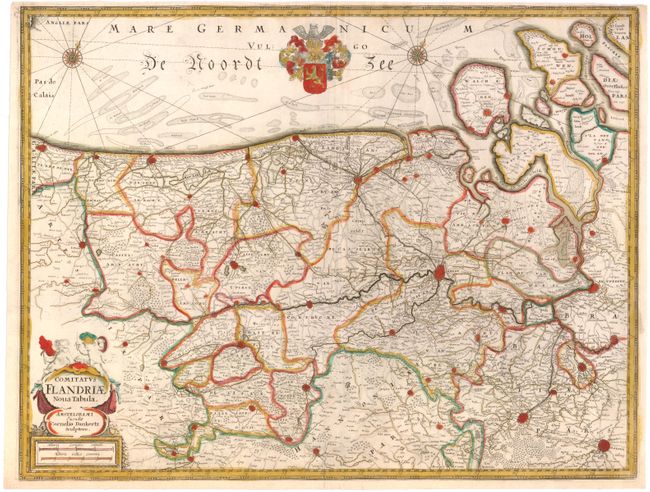
Subject: Belgium

Period: 1635 (circa)

Publication:

Color: Hand Color

Size:
20.1 x 15.4 inches
51.1 x 39.1 cm
Download High Resolution Image
(or just click on image to launch the Zoom viewer)

This handsome copper engraved map details the coastline from Calais to Zeeland, and east to Brussels and Leuven. Beautifully engraved and highly detailed, the map shows forests, roads and canals, hundreds of tiny villages and numerous fortified towns including Brussels, Gent and Antwerp. Fishing banks are shown off the coast. The map is adorned with the coat of arms for Flanders and a title cartouche with a pair of cherub "soldiers."

References:

Condition: A

Watermarked paper with a narrow, but adequate, top margin.

Estimate: $275 - $350

Sold for: $200

Closed on 2/13/2013

Archived