Catalog Archive
Auction 143, Lot 472

"La Suede et la Norwege avec l'Islande", Brion de la Tour/Desnos

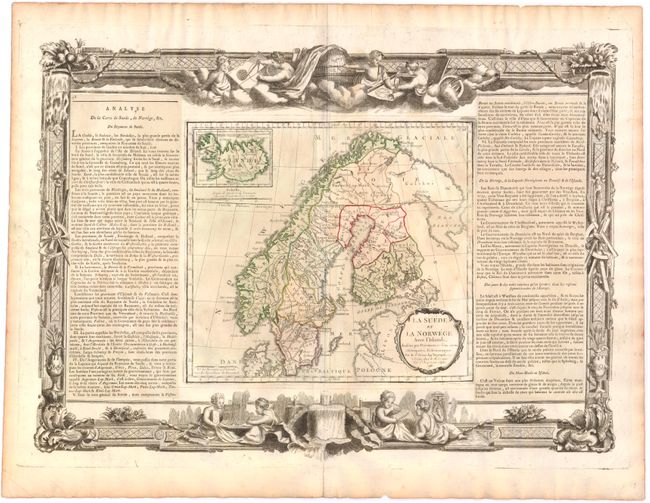
Subject: Scandinavia

Period: 1766 (dated)

Publication: Atlas General et Elementaire

Color: Hand Color

Size:
20.5 x 14.8 inches
52.1 x 37.6 cm
Download High Resolution Image
(or just click on image to launch the Zoom viewer)

This attractive and nicely engraved map of Scandinavia presents the political divisions of each country with an inset of Iceland. The map is flanked by French text describing the area. Surrounding the map and text is an elaborate border that shows two scenes of children studying geography and science. The map, text and border were all printed from separate plates with the text adhered to the sheet by the publisher.

References:

Condition: B+

Original color with minor toning and a couple chips in blank margins, well outside the platemark.

Estimate: $150 - $200

Sold for: $75

Closed on 2/13/2013

Archived