Catalog Archive
Auction 143, Lot 342

"The Island of Jamaica Divided into its Principal Parishes with the Roads &c.", Moll, Herman
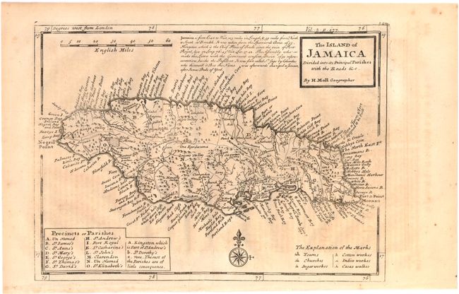
Subject: Jamaica

Period: 1740 (circa)

Publication: Modern History

Color: Black & White

Size:
10.8 x 7.8 inches
27.4 x 19.8 cm
Download High Resolution Image
(or just click on image to launch the Zoom viewer)

Detailed map of the island depicting mountains, roads, towns and forests. The island is divided into the English system of parishes with a key at bottom left. Factories for sugar, cotton, indigo and cocoa are also located. Simple block style title with descriptive text to the left.

References: Shirley (BL Atlases) G.SALM-1c #46; Phillips (Atlases) #578.

Condition: B+

Strong impression with light toning and offsetting.

Estimate: $275 - $350

Unsold

Closed on 2/13/2013

Archived