Catalog Archive
Auction 143, Lot 288

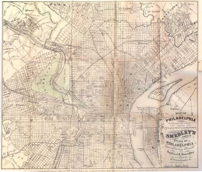
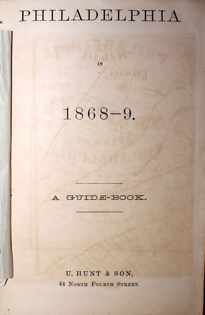
"Map of Philadelphia Photographically Reduced from the 25 Large Sectional Drawings Contained in Smedley's Complete Atlas of Philadelphia… [with Guide Book] Philadelphia in 1868-9", Smedley, Samuel L.

Subject: Philadelphia, Pennsylvania

Period: 1867-69 (dated)

Publication:

Color: Hand Color

Size:
14.3 x 12.2 inches
36.3 x 31 cm
Download High Resolution Image
(or just click on image to launch the Zoom viewer)

Unusual, and very scarce pocket edition of this map by Samuel Smedley, dated 1867. Absolutely filled with details of streets, buildings, open spaces, railroads, and more. The folding map is printed on thin, banknote style paper and is attached to the title page of the guide book, Philadelphia in 1868-9, by Edward Parrish. The guide book contains 64 pages of text on the great city, including information on the history, government, public schools, markets, hospitals, and places of interest. The author of the book signed the front free-endpaper, dated "11/24, 68."

References:

Condition: B+

The map has faint toning along several folds and several short fold separations. The text is lightly toned and the spine is sunned.

Estimate: $200 - $250

Sold for: $100

Closed on 2/13/2013

Archived