Subject: Philadelphia, Pennsylvania
Period: 1812 (published)
Publication:
Color: Black & White
Size:
5.6 x 9 inches
14.2 x 22.9 cm
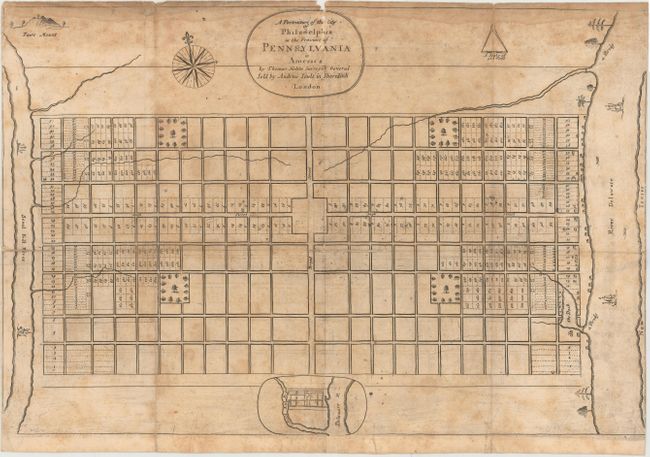
This is the fourth state of Thomas Holme's famous plan of the city of Philadelphia, which was the first U.S. city with a predetermined design. It is credited with being the first printed map of a city that was to become part of the United States. Philadelphia was one of the earliest cities in the United States to utilize a grid pattern, which was facilitated by the north-south orientation of the rivers that parallel the city. William Penn and his surveyor Thomas Holme designed the city with ample room separating properties and an abundance of gardens and parks in an attempt to prevent the spread of disease and fire that plagued many overcrowded European cities.
The rudimentary plan depicts the city situated between the Schuylkill and Delaware rivers, with nine wide streets running east to west and twenty-three running north to south. Only two streets are labeled: Broad Street and High Street, which intersect at a large unnamed square ((later the site of City Hall). Four large squares are dedicated to parkland in each quadrant. At bottom is a small oval that shows a bird's-eye view of the city with the Schuylkill and Delaware rivers flanking it. In the upper left corner is Faire Mount, the site of the city’s future waterworks.
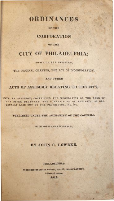
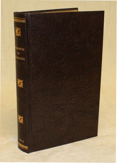
The first three states of the map were all printed in London in 1683. In 1812 the original plate was lent to Dr. George Logan of Stenton for inclusion in the Philadephia Ordinances. The plate was slightly altered to make the grid lines broader. The map was issued with Ordinances of the Corporation of the City of Philadelphia, by John Lowber, which includes William Penn's original charter and the city's ordinances up to its publication date of 1812. 312 pp. Octavo, rebound in brown boards with gilt title on spine. All states of the map are exceedingly rare including this later state.
References: Burden #557; Schwartz & Ehrenberg #69.
Condition: C+
There are a number of small fold separations, edge tears, and a 3/8" tear near the center of the map that have all been closed on verso - four with cello tape and the remainder with archival tape. Map is toned with scattered foxing and a faint dampstain along the top edge of the map, away from most of the map image. Text is toned and foxed, but tight in the binding.