Subject: Atlases
Period: 1676 (published)
Publication:
Color: Black & White
Size:
6.3 x 8 inches
16 x 20.3 cm
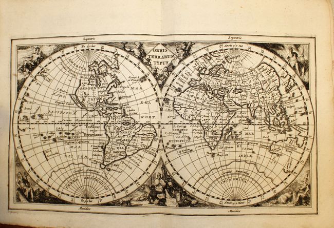
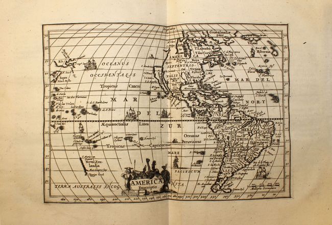
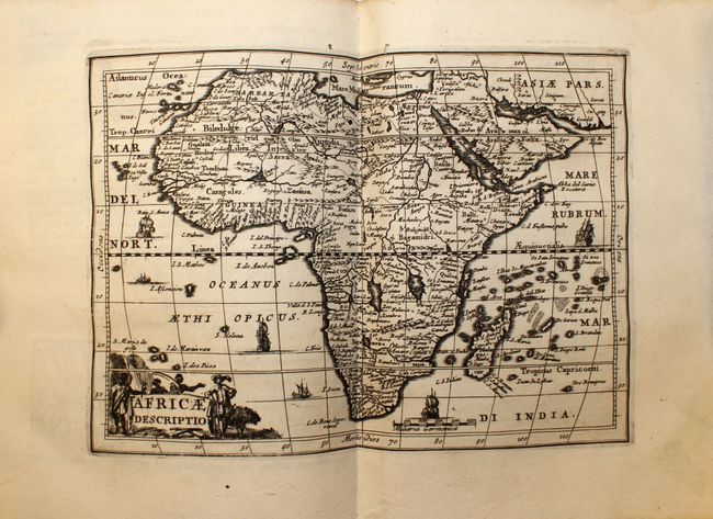
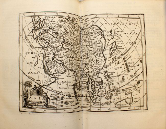
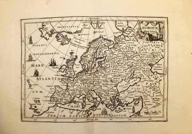
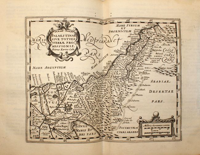
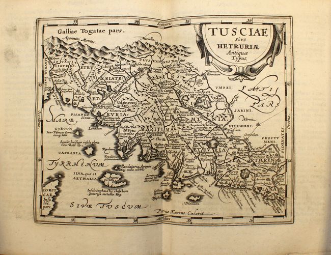
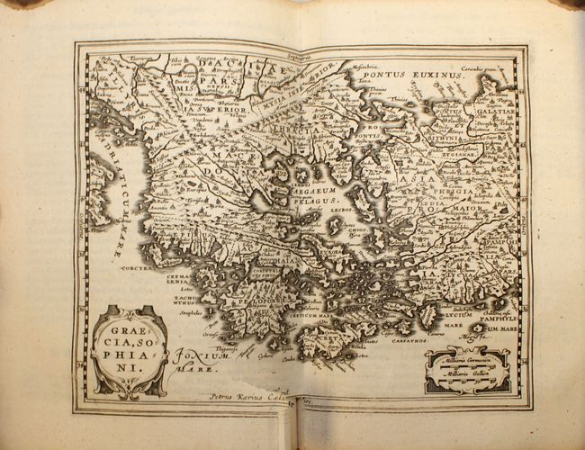
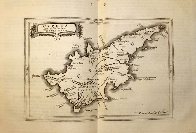
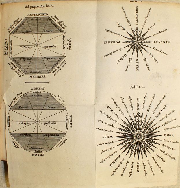
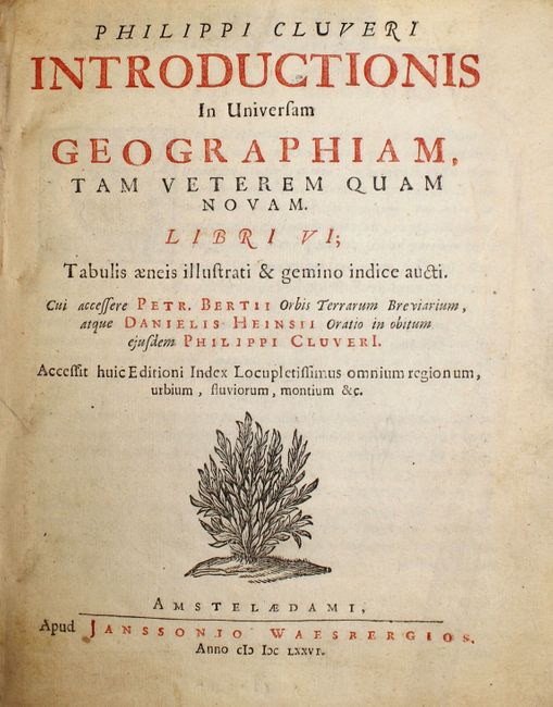
Philip Cluver’s Introductionis is considered the standard geographical text-book of the seventeenth century, as he is known as the father of modern historical geography. This complete example has 46 decorative maps and a folding table of wind roses, most engraved by Petrus Kaerius. The world and America maps show the island of California. About half the maps are classical ones derived from Ortleius' Paregon. The Introductionis was published numerous times between 1624 and 1729 with each successive edition becoming more elaborate and the later editions including finely engraved maps. This edition was published by Johann Jansson van Waesbergen. Quarto, original full calf binding with raised embossed bands.
References: King (1st ed.) p. 186; King (2nd ed.) pp. 128-29.
Condition: B+
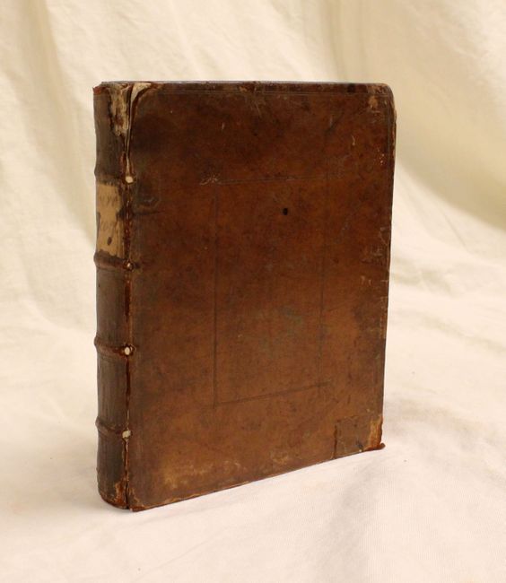
Maps generally very good to fine with clean and crisp with sharp impressions. Wind roses plate and map of Greece with short binding tears. Binding is tight with shelf wear, a repaired corner on front cover, lacking endpapers and frontispiece, and some damage to spine. Overall a very nice example that would benefit from some very minor binding conservation.