Subject: Australia
Period: 1931 (dated)
Publication:
Color: Printed Color
Size:
75 x 60 inches
190.5 x 152.4 cm
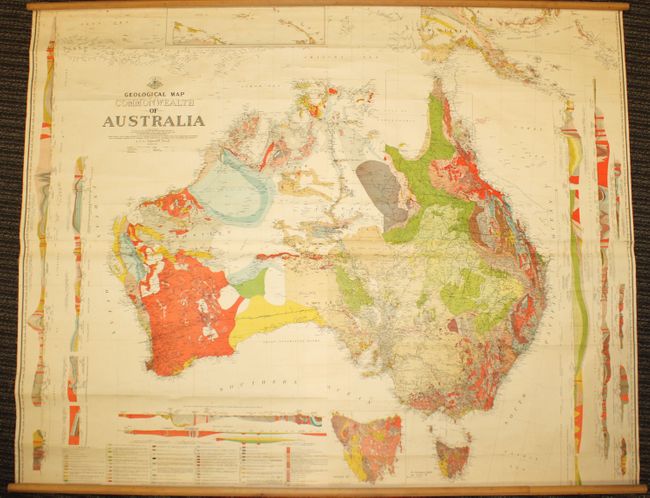
This large and striking wall map of Australia by Sir T.W. Edgeworth David is as attractive as it is informative. Joined on 4 sheets and backed in original linen, the map colorfully identifies 56 different geologic units organized into 27 numbered groupings. Along the left and right side of the map are 10 profile sections covering the entire continent. The map has two insets, including a very detailed depiction of Tasmania. Portions of the geology of New Guinea are also displayed. In addition to the incredible geologic detail, the map identifies roads, railroads, telephone lines, cable routes, lighthouses and political boundaries. Two distance scales show kilometers and miles, which is at an impressive scale of 25 miles to the inch. Drawn and printed at the Department of Lands in Sydney.
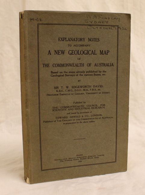
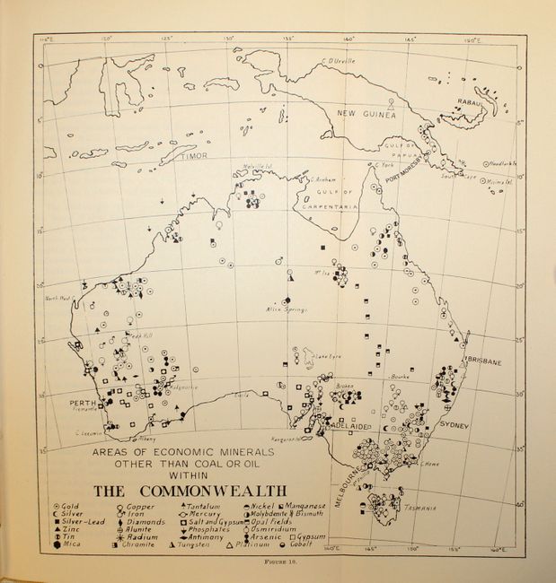
Accompanying the map is the Explanatory Notes to Accompany a New Geological Map of the Commonwealth of Australia..., black & white (6.1 x 9.7"). Paperback, octavo, 177 pp. of text with numerous illustrations, 9 folding tables and 1 folding map.
References:
Condition: A
Bright, beautiful color with some occasional small cracks in the map, slightly more pronounced near the title and generally outside of the main continent map. There are a few scattered tiny spots and small damp stains, and an archivally repaired 1/2" chip near Charters Towers in the northeastern part of the country. Rollers are present and fully attached. The accompanying explanatory note text and tables are in excellent condition with some very minor wear to the covers and spine.