Catalog Archive
Auction 142, Lot 550

"Dalmatia, Sclavonia, Croatia, Bosnia, Servia et Istria...", Valck, Gerard and Leonard
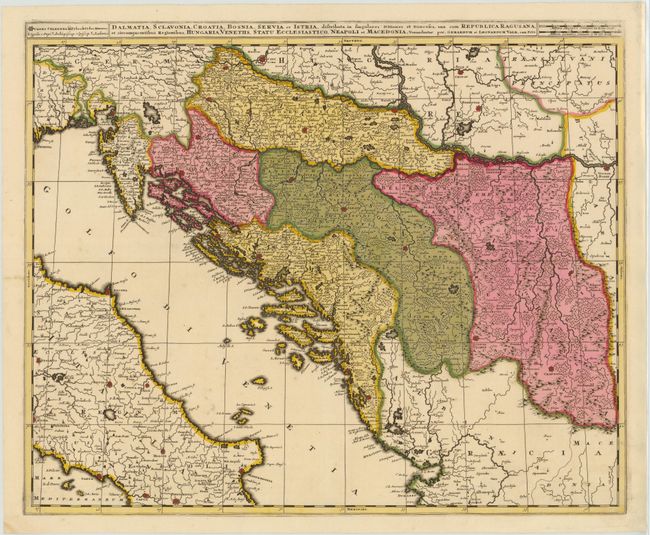
Subject: Balkans

Period: 1700 (circa)

Publication:

Color: Hand Color

Size:
23.3 x 19.2 inches
59.2 x 48.8 cm
Download High Resolution Image
(or just click on image to launch the Zoom viewer)

This detailed map of the Balkans depicts the historic regions of Sclavonia, Croatia, Dalmatia, Bosnia and Serbia. The map is fully engraved with towns, rivers, mountains and forests, and extends to include part of Italy.

References:

Condition: B+

Original color with archival repairs to several cracks caused by the oxidation of the green pigment.

Estimate: $350 - $425

Sold for: $250

Closed on 11/28/2012

Archived