Subject: Missouri
Period: 1874-1908 (dated)
Publication:
Color:
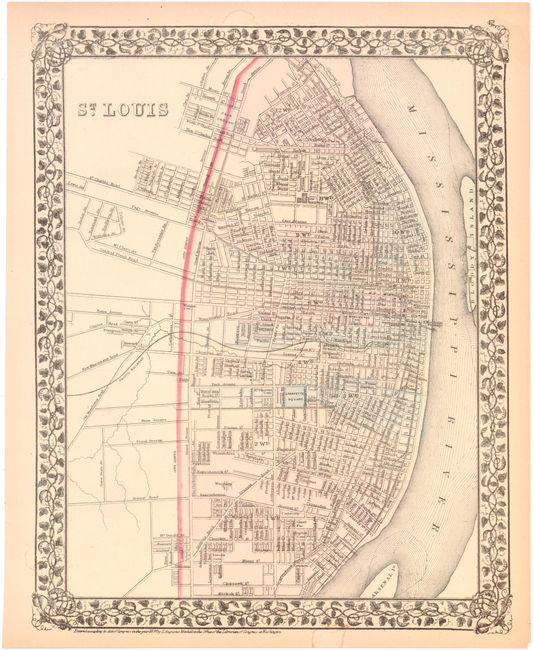
This lot of 15 includes 14 topographical maps from the USGS covering various areas in Missouri, including a double-page map of Saint Louis. Produced under the direction of Charles Walcott, the maps show detail of the cities, roads, railroads and rivers with a scale of 1 mile per inch. Dated 1901-1908. Also included with the lot is a map of St. Louis by Samuel Augustus Mitchell.
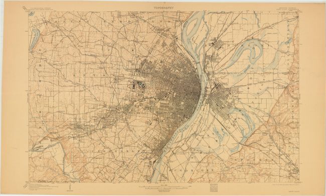
A. Saint Louis Quadrangle, by USGS, printed color (27.5 x 17.5")
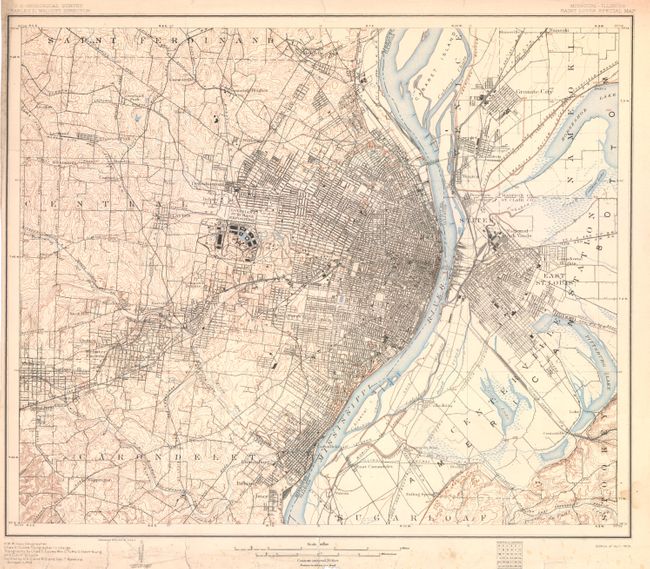
B. Saint Louis Special Map, by USGS, printed color (16.0 x 19.0"). This map was created for the Louisiana Purchase Exposition.
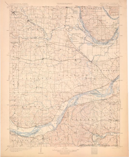
C. O'Fallon Quadrangle, by USGS, printed color (16.0 x 19.0").
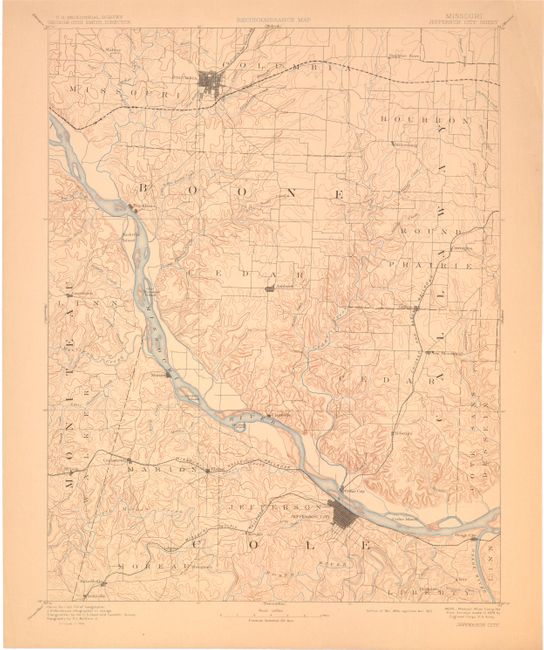
D. Jefferson City Sheet, by USGS, printed color (16.0 x 19.0").
E. Moberly Sheet, by USGS, printed color (16.0 x 19.0").
F. Lexington Sheet, by USGS, printed color (16.0 x 19.0").
G. Hermann Sheet, by USGS, printed color (16.0 x 19.0").
H. Fulton Sheet, by USGS, printed color (16.0 x 19.0").
I. De Soto Quadrangle, by USGS, printed color (16.0 x 19.0").
J. Boonville Sheet,by USGS, printed color (16.0 x 19.0").
K. Sedalia Sheet , by USGS, printed color (16.0 x 19.0").
L. Warrensburg Sheet , by USGS, printed color (16.0 x 19.0").
M. Mexico Sheet, by USGS, printed color (16.0 x 19.0").
N. Glasgow Sheet, by USGS, printed color (16.0 x 19.0").
O. St. Louis, by Samuel Augustus Mitchell, dated 1874, hand color (9.5 x 12.5").
References:
Condition: B+
Overall very good with light toning and occasional soiling in the blank margins. The Saint Louis Special Map has a few edge tears confined to the lower blank margin closed on verso with archival tape.