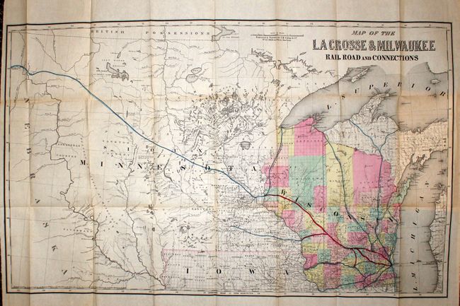
Subject: Central United States
Period: 1856 (dated)
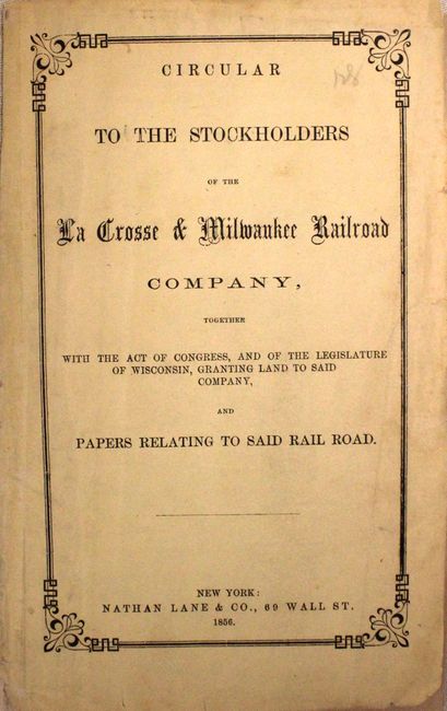
Publication: Circular to the Stockholders of the La Crosse & Milwaukee Railroad Company…
Color: Hand Color
Size:
33 x 20.5 inches
83.8 x 52.1 cm
This rare map was produced by Colton and is bound into the front of the original report to stockholders. It covers much of the upper Midwest from Lake Michigan westward to the Yankton Country, the Missouri River and beyond to show a little of Nebraska Territory. Wisconsin is colored by county. The map delineates the lines of the LaCrosse & Milwaukee Railroad with red hand coloring, originating in Milwaukee and extending to Madison, La Crosse and Hudson. The lines of other railroads are named and shown in blue: the Wisconsin & Michigan RR has lines to Marquette and Ontonagon; the Milwaukee & Horicon RR has a single line that terminates at Lake Superior in Chequamegon Bay. An unnamed railroad reaches to the far west from Hudson terminating at the confluence of the White Earth and Little Missouri Rivers in Nebraska Territory, the route of today's Great Northern Railroad. The map locates many Indian tribes and early settlements west of the Mississippi, and provides excellent coverage of the watershed. Chartered in 1852, the La Crosse & Milwaukee Railroad failed shortly after the panic of 1857. Before its failure, the line became the second railroad to lay rails from Milwaukee to the Mississippi River. The map is attached to a 32 pp. report that includes a good deal of information concerning the railroad.
References:
Condition: B+
Issued folding with some light toning along a few folds. The report has some light even toning and a few minor spots.