Subject: Atlases
Period: 1895 (dated)
Publication:
Color: Printed Color
Size:
12 x 14.8 inches
30.5 x 37.6 cm
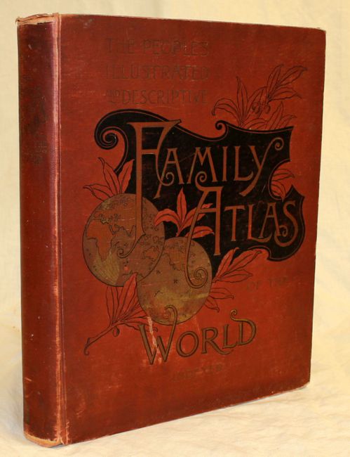
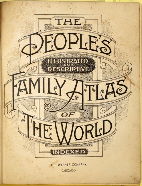
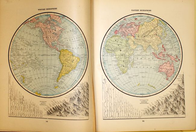
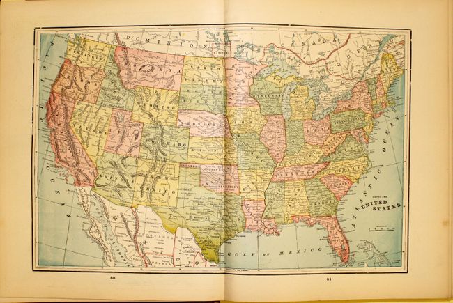
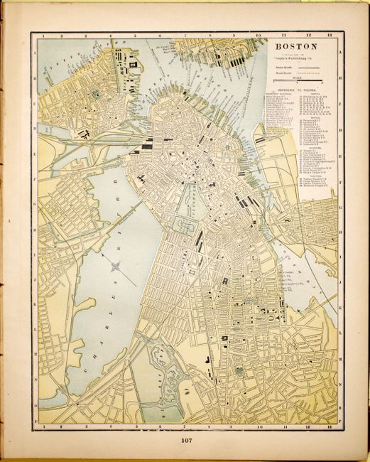
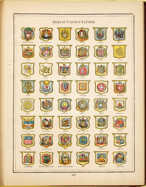
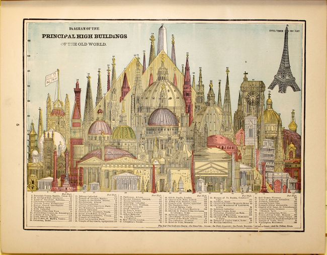
This is the 21st edition, revised to January 1895 and is complete with 112 single-page and 36 double-page colorful maps by George Cram. The atlas contains individual maps for each U.S. state and territory, the Canadian provinces, plus approximately 30 maps from the rest of the world. It also includes plans of the principal cities of the United States and the world, and dozens of engraved vignettes of distant civilizations, architecture, wildlife, landscapes, etc. interspersed throughout the text. There are also illustrations of state seals, and the flags and coats of arms of various nations. Double-page maps are folded and pasted to a backstrap and most maps are printed back to back. 534 pp. with numerous illustrations including the Diagram of the Principal High Buildings of the Old World, Birds' Eye View of the Holy Land, and much more. Small folio. Bound in red cloth with an attractive, embossed title on front cover in gilt. Marbled paper edges.
References:
Condition: B+
Maps and text are clean and bright, with occasional soiling or spot of foxing in blank margins. The title page and free endpapers are lightly foxed. The covers and spine are worn and the hinge is starting.