Catalog Archive
Auction 141, Lot 556

"Illustrissimo Celsissimoque Principi Carolo Emanueli D.G. Sabaudiae Duci, Pedemontii Principi ect. Hanc Accuratam Status Sabaudici Tabulam in Ducatum Sabaudiae, Principatum Pedemontii, Comitatum Nicaeensem…", Wit, Frederick de

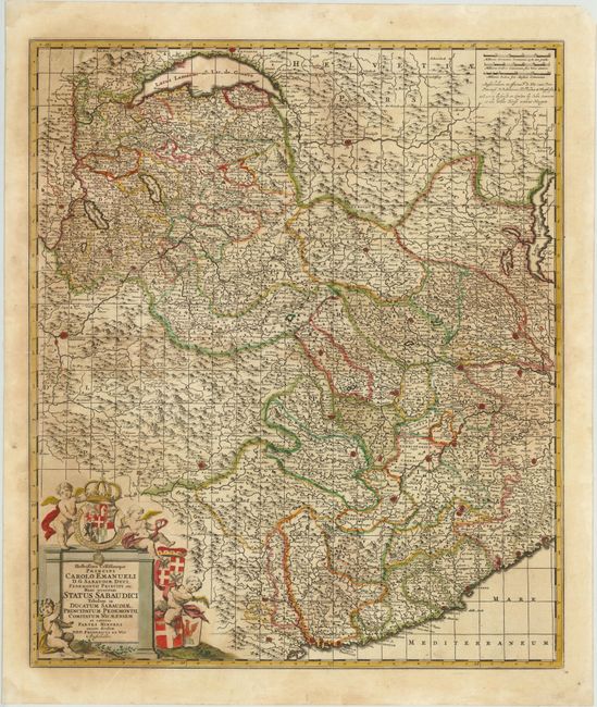
Subject: France, Italy & Switzerland

Period: 1705 (circa)

Publication:

Color: Hand Color

Size:
19.3 x 22.7 inches
49 x 57.7 cm
Download High Resolution Image
(or just click on image to launch the Zoom viewer)

This detailed regional map covers the Rhone-Alps region including a portion of Italy and Switzerland. It extends from Grenoble in the west, Geneva in the north, Monaco in the south, and Vercellia and Savona in the east, and includes Turin. Fortified cities, small towns, and monasteries fill the landscape along with topographical depictions of hills and mountains. The title cartouche is embellished with putti and coats of arms. London Map seller John Overton began selling De Wit's maps in England at the end of the 17th century. Overton requested that De Wit include his name and place of business on some them, as evidenced here just below the scale of miles.

References:

Condition: B

Old color with light, uneven toning and a short centerfold separation in left blank margin. Backed in Japanese tissue to repair numerous cracks caused by the oxidation of the green pigment.

Estimate: $350 - $450

Sold for: $250

Closed on 9/5/2012

Archived