Subject: Utah
Period: 1879-80 (published)
Publication:
Color: Printed Color
Size:
22 x 32.3 inches
55.9 x 82 cm
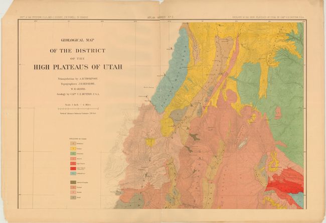
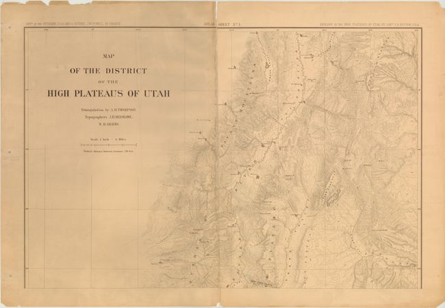
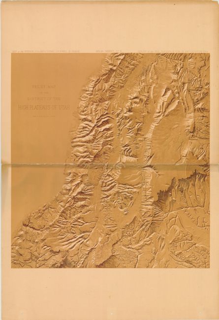
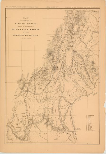
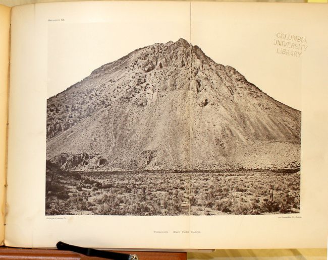
This rare atlas and report depicts the High Plateaus of Utah and predates Dutton's famous atlas Tertiary History of the Grand Canyon District by three years. Over a three year period beginning in 1875, Dutton and his team mapped over 12,000 miles of rugged terrain in order to understand the geological structure and volcanic phenomena of the region. His team's efforts produced an impressive atlas consisting of eight large-scale topographic and geologic maps, of which this example includes the first six including:
[On 2 Sheets] No. 1 Map of the District of the High Plateaus of Utah
[On 2 Sheets] No. 2 Geological Map of the District of the High Plateaus of Utah
No. 3 Relief Map of the District of the High Plateaus of Utah
No. 4 Map of Portions of Utah and Arizona Showing the Arrangement of Faults and Flexures in the Kababs and High Plateaus
[On 2 Joined Sheets] No. 5 Stereogram of Displacements in the District of the High Plateaus of Utah
No. 6 Structure Sections Through the High Plateaus
Each map sheet is loose, measures approximately 22 x 32", and is housed in a very attractive tan cloth-covered portfolio with ribbon ties. Accompanying the atlas is a 307 pp. report including 11 plates and a number of profile views. This report was previously owned by J.S. Newberry, who was a well-known paleontologist and geologist who participated in a number of early scientific expeditions in the western United States, and bears his signature on the title page. Quarto, hardbound in brown cloth covers.
References: Marcou & Marcou #773.
Condition: C
All of the maps except for No. 4 have numerous centerfold separations that have been repaired on verso with tissue. Map No. 4 has a 4" edge tear that has been closed on verso with archival tape. The maps have numerous edge tears away from the image, many of which have been closed on verso. The binding of the report is very loose with about 30 pages separated from the text block. The hinge is starting and the spine is missing and replaced with black cloth. The title page and plates all bear the Columbia University Library embossing.