Catalog Archive
Auction 141, Lot 227

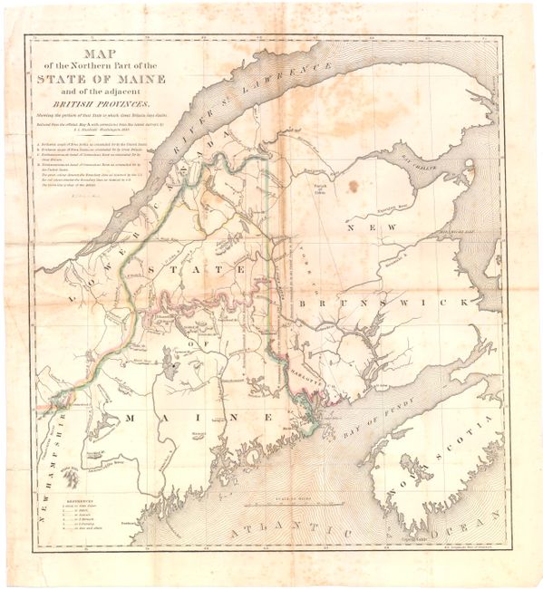
"Map of the Northern Part of the State of Maine and of the Adjacent British Provinces Shewing the Portion of that State to which Great Britain Lays Claim", Dashiell, S. L.
Subject: Maine

Period: 1830 (dated)

Publication: SD 431., 25th Cong., 2d Sess.

Color: Hand Color

Size:
15.3 x 16.5 inches
38.9 x 41.9 cm
Download High Resolution Image
(or just click on image to launch the Zoom viewer)

An interesting map that details the disputed boundary between the U.S. and Canada in northern Maine and shows early property grants. The northern boundary was finalized by the Webster-Ashburton Treaty of 1842. The map does not show counties, but it names Mt. Katahdin, Sugarloaf Mt., Portland, Machias, and other points of reference within the new state. Published in the 1838 Congressional report.

References:

Condition: C+

Issued folded, now pressed flat with foxing and toning primarily along the folds. There are a number of small fold separations as well as a couple of tiny holes repaired on verso with paper tape.

Estimate: $180 - $220

Unsold

Closed on 9/5/2012

Archived