Catalog Archive
Auction 141, Lot 222

"Carte Geographique, Statistique et Historique de l'Illinois", Buchon, Jean Alexandre

Subject: Illinois

Period: 1825 (circa)

Publication:

Color: Hand Color

Size:
24 x 18 inches
61 x 45.7 cm
Download High Resolution Image
(or just click on image to launch the Zoom viewer)

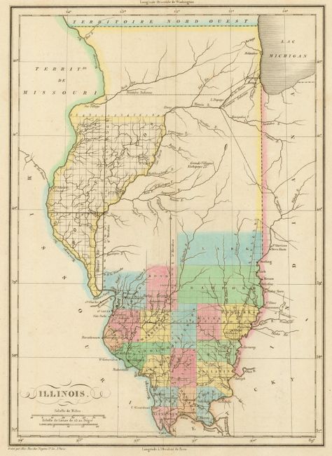
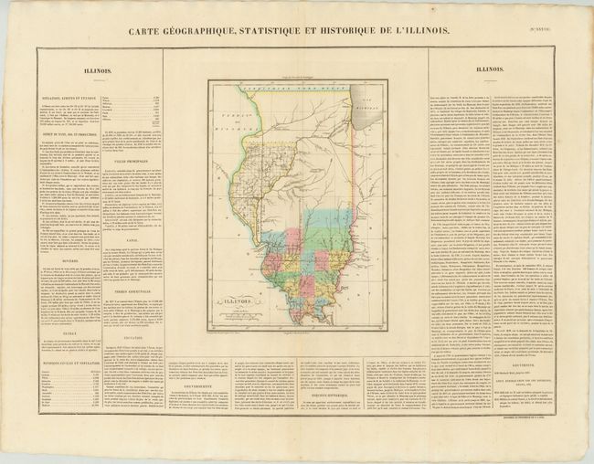
This is the French edition of Carey & Lea's map of Illinois. The map shows county development confined to the southern portion of the state, with a large Bounty Lands in the northwestern part of the state. County development is current as of 1819, with Crawford being formed from Clark County. The map (8.4 x 11.7") is surrounded by French text on a full folio sheet, with a table listing the population of each county.

References:

Condition: A

There is a small hole in the lower blank margin away from the image, else fine.

Estimate: $350 - $450

Unsold

Closed on 9/5/2012

Archived